When someone brings up Nepal, I instantly picture those massive, snowy peeks eight thousand meter high. To see them, you have to crane your neck way more than you’re used to. No doubt, it’s a dream spot for mountaineers. My buddies from Epic Enduro were planning a trip there, but not for climbing – they were all about mountain biking and local experience. It sounded like an great idea with great company so I did join them and wondered how it stacks up against other epic MTB spots around the world.
Intro
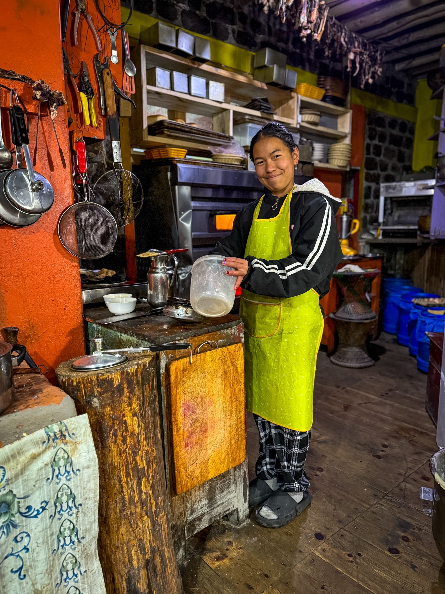
This trip is a combination of mountain bike and local experience. It starts by arrival to Kathmandu and then gradually make the way to the Lower Mustang region before returning. Along the journey, there are planned stops to dive yourself in the local life. There is always time for personal exploration and extras.
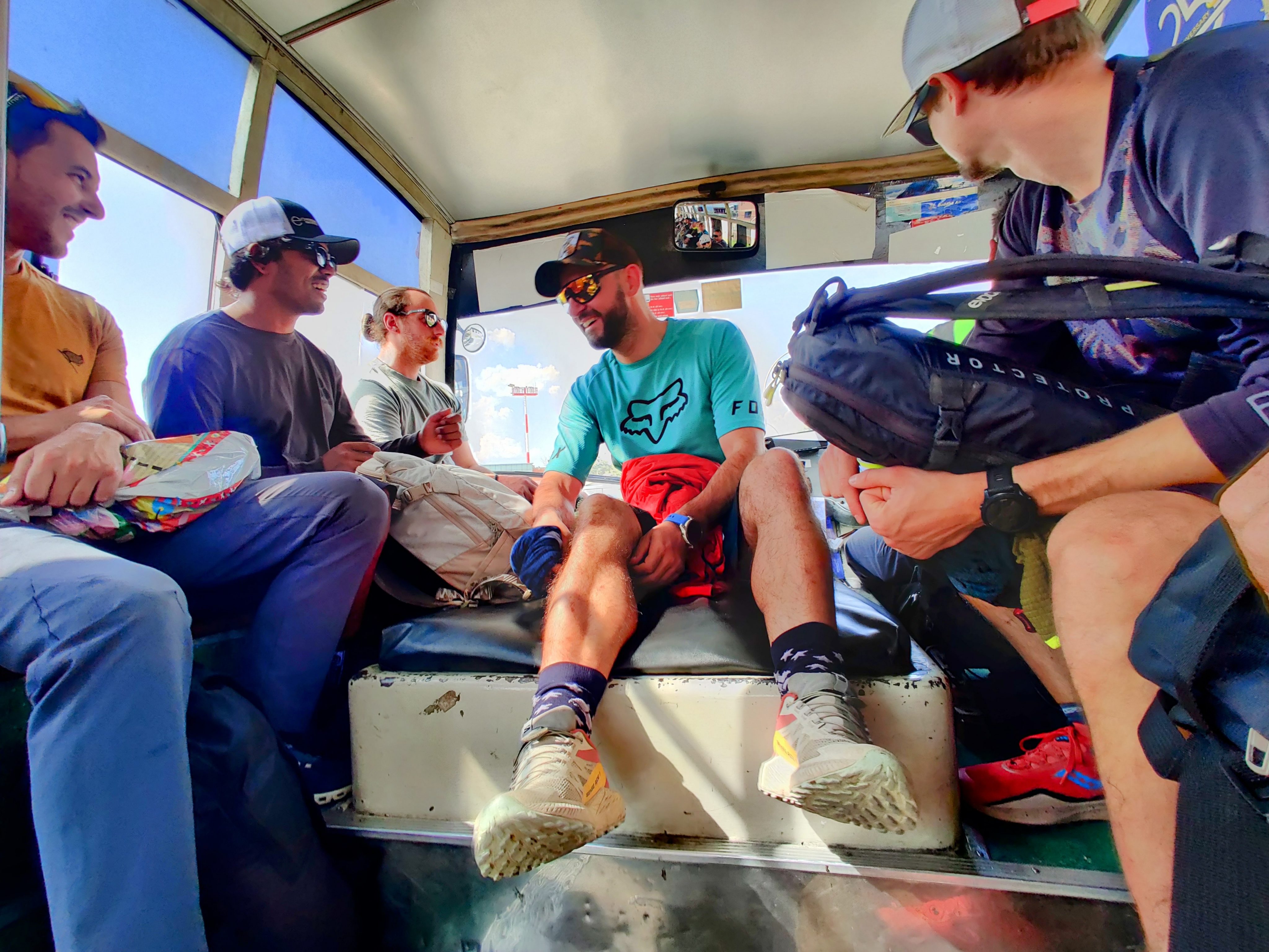
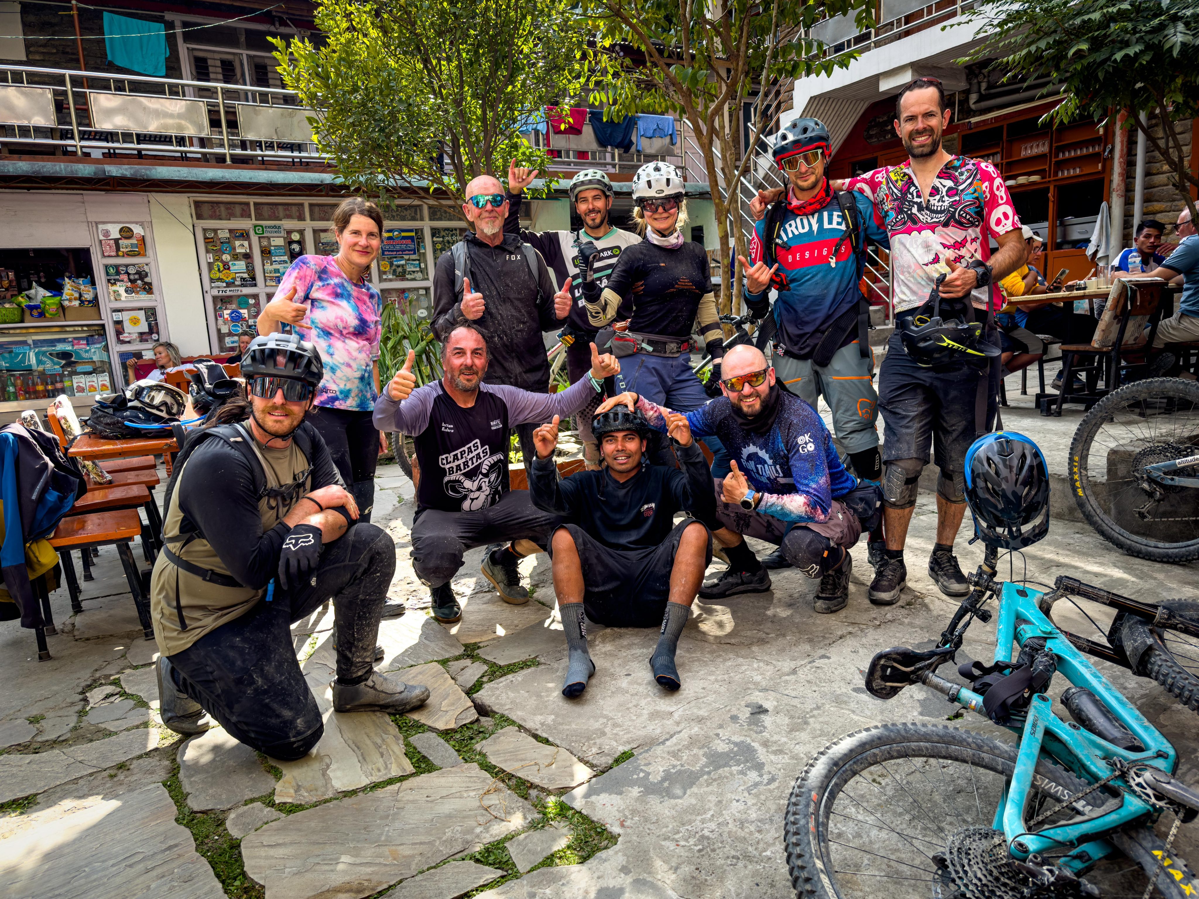
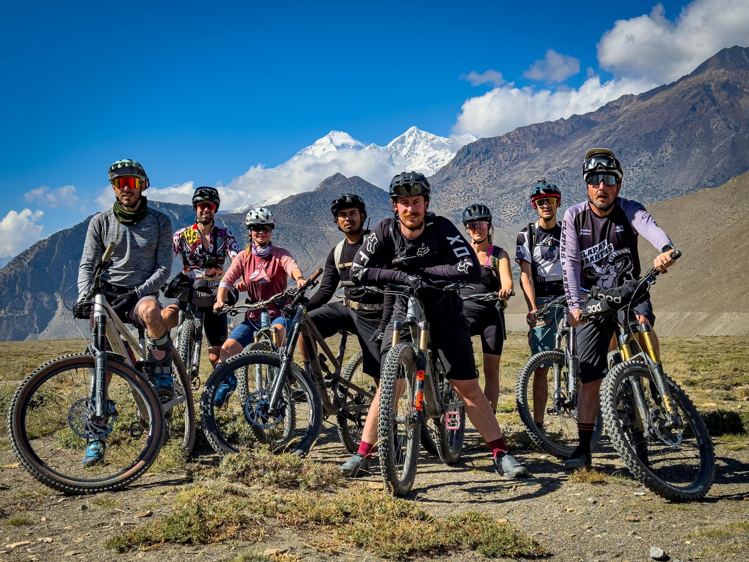
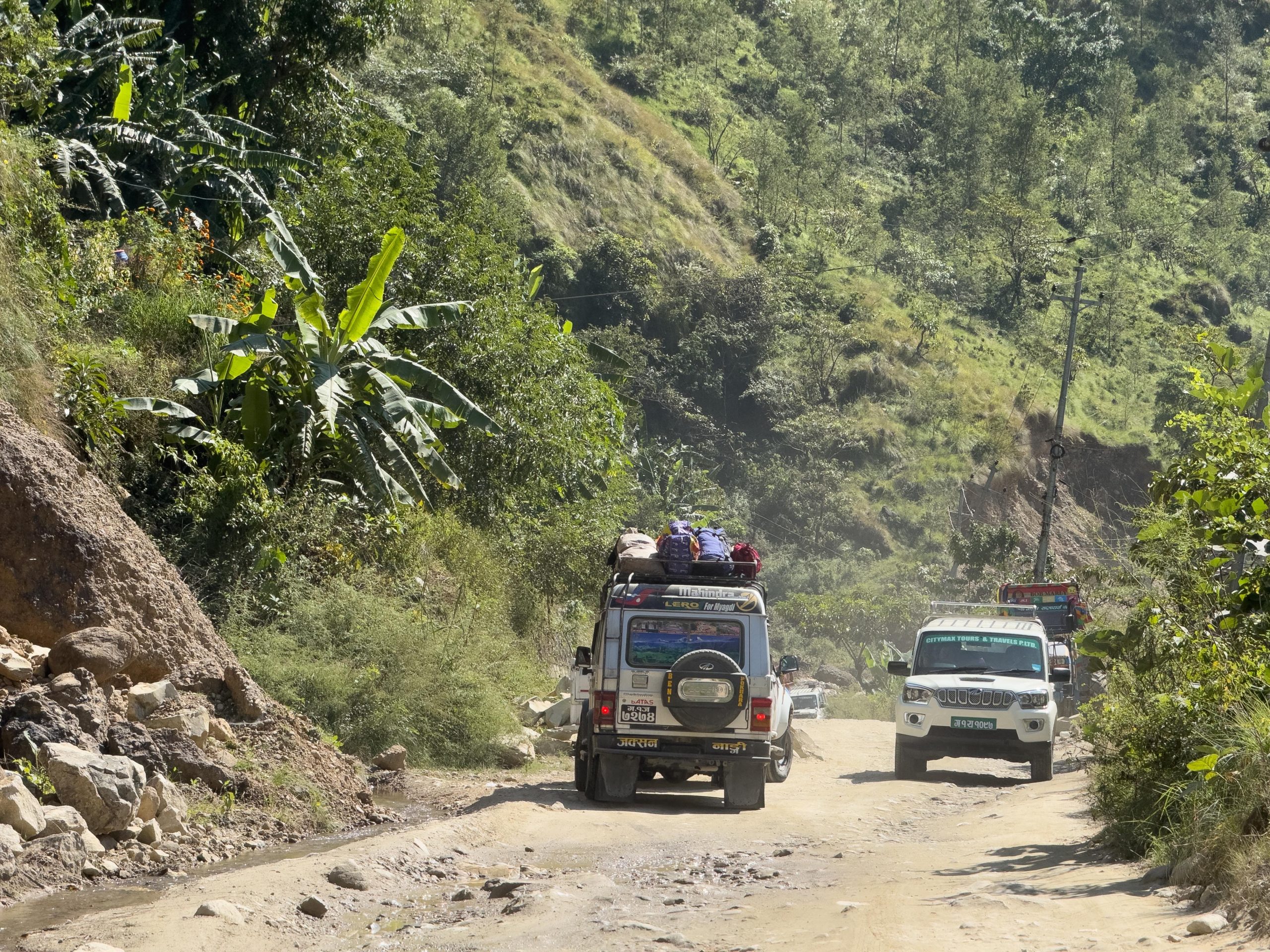
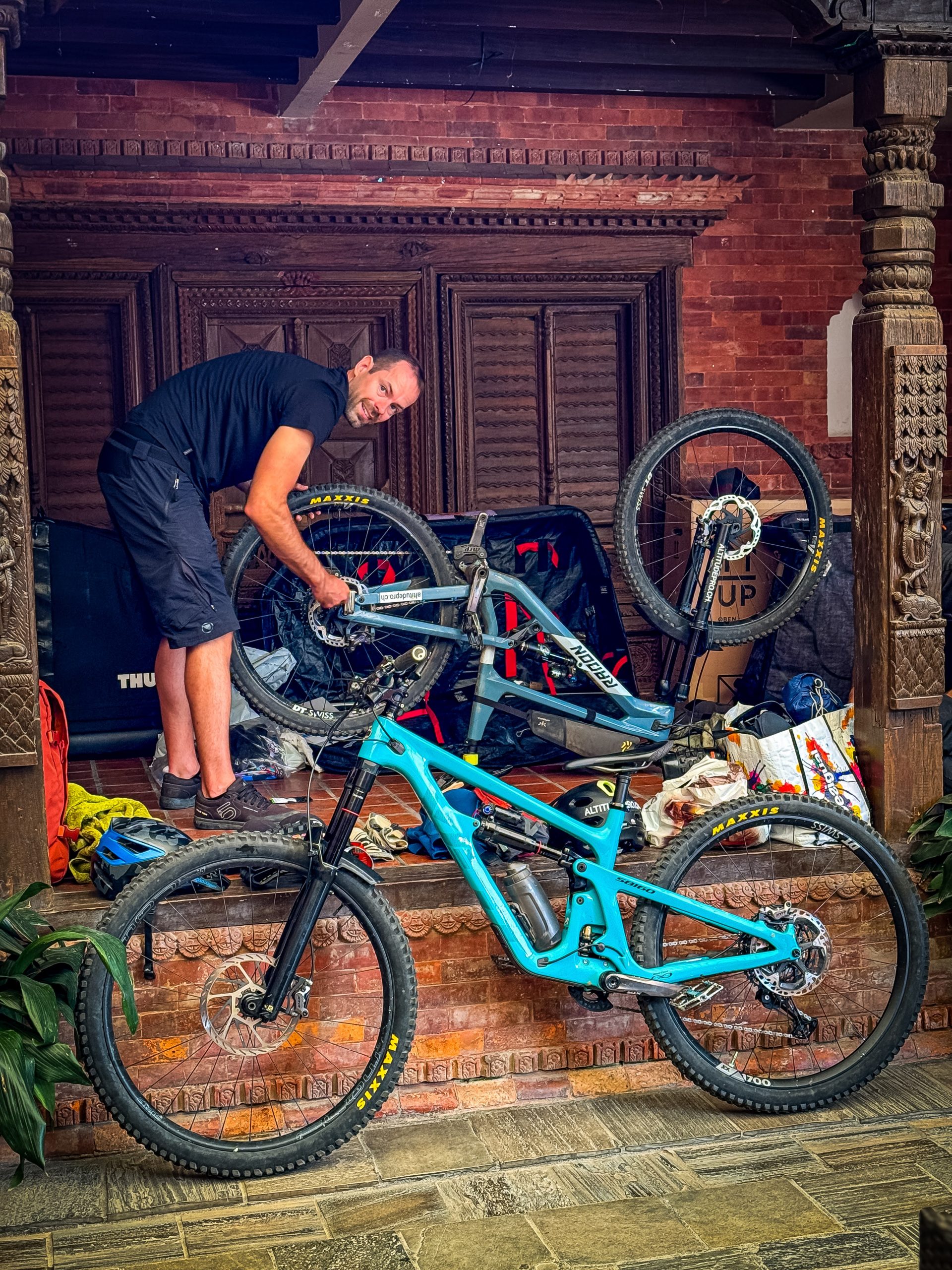
The entire trip is guided by experienced guides and brave drivers with two Mahindra pickups carrying our bikes and luggage. Occasionally, the vehicles are pre-loaded and sent one day ahead of schedule to meet us at a predetermined location, while we opt for a scenic 25-minute flight instead of enduring a bumpy 7-hour ride.
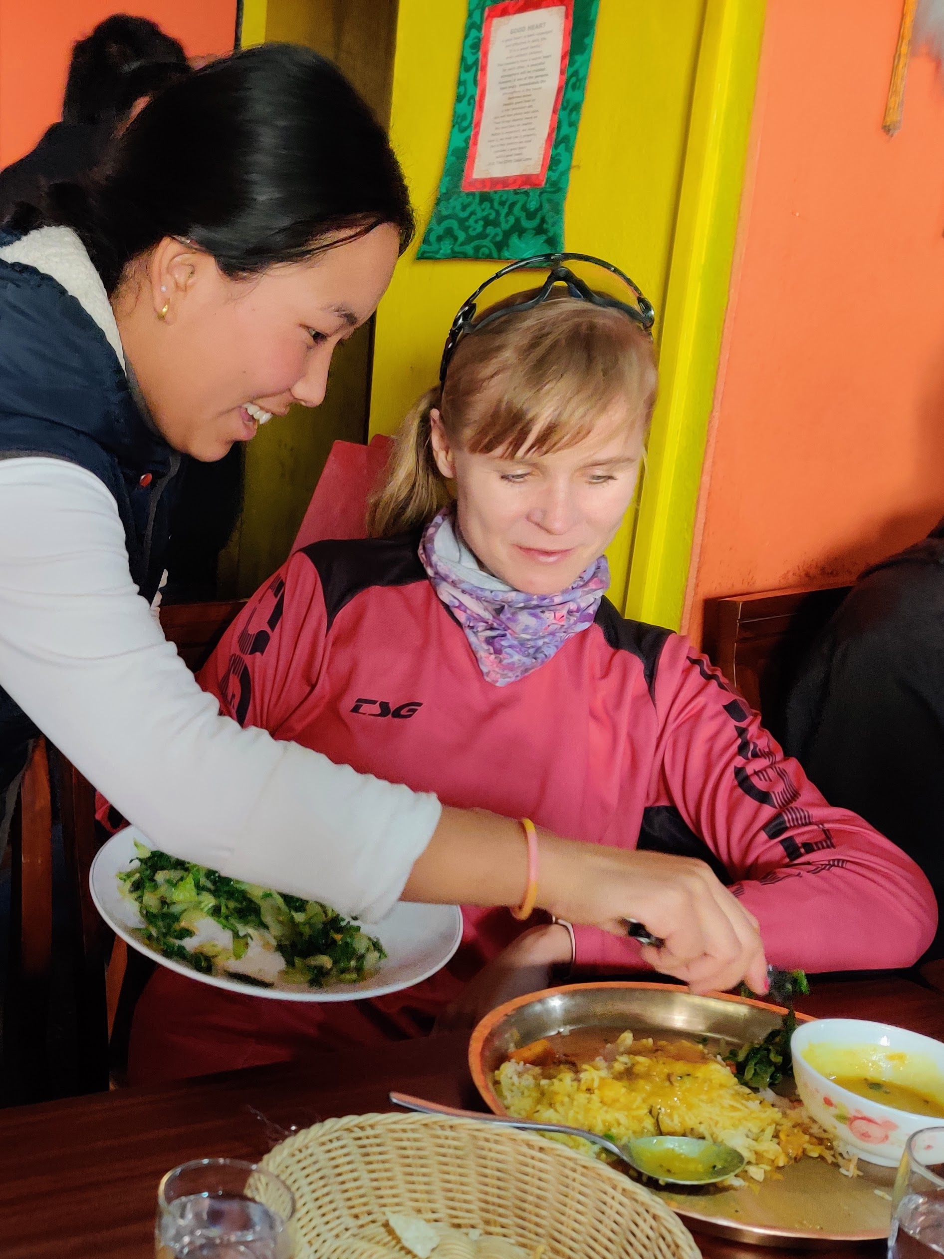
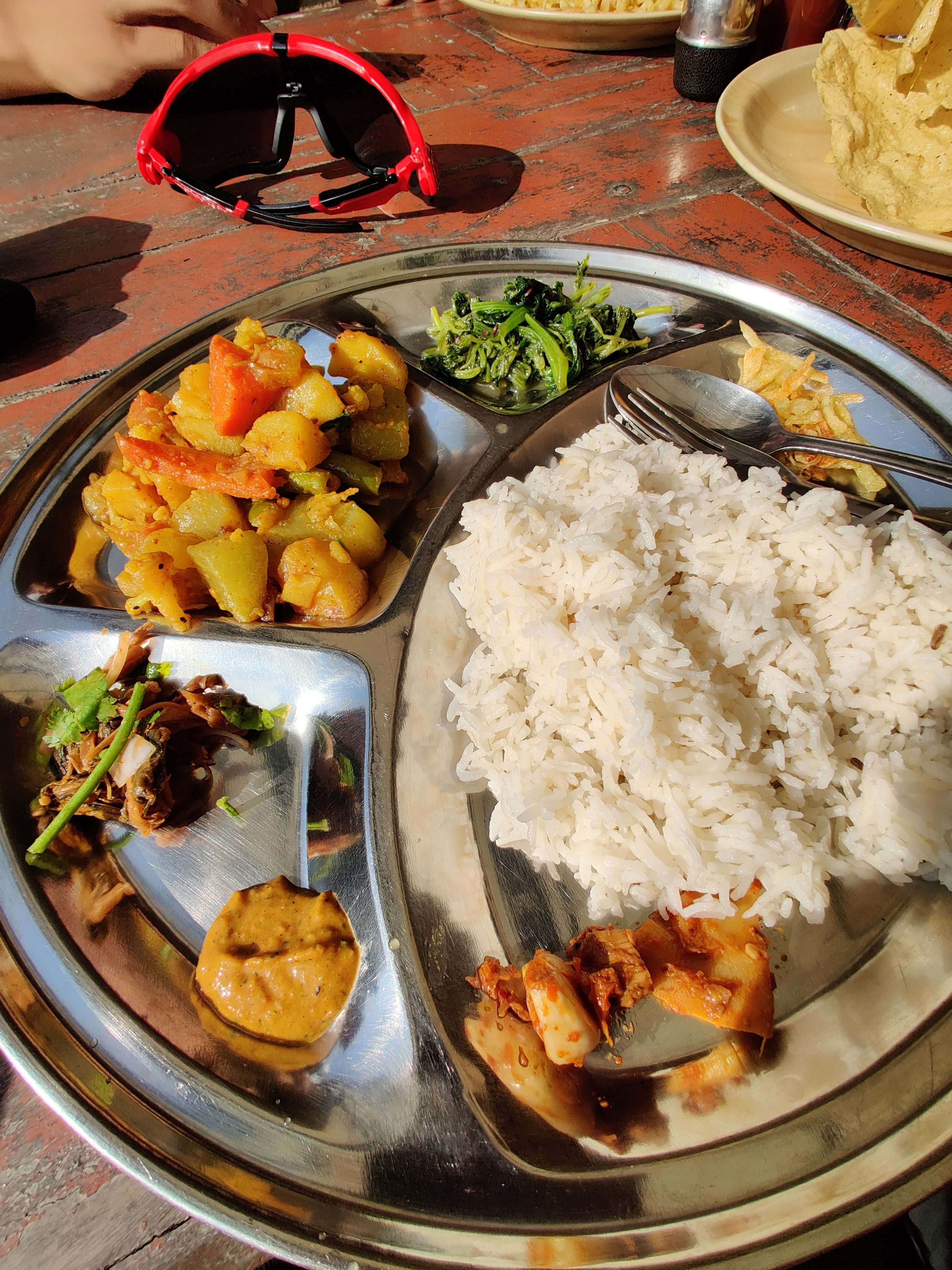
Each day is strategically organized, with the cuisine slowly changing from continental to local to help the stomach adjust to new flavors. Similarly, the elevation gradually increases to aid in acclimatization. However, it’s not a high-altitude trip that one might typically expect from a journey in Nepal and the Himalayas, as the highest elevation reaches slightly above four thousand meters. In addition, some places require special permits, a paperwork is handled by the guides and obtained before the trip.
Kathmandu
When you land in Nepal, you’ll probably touch down at the Tribhuvan International Airport, it is quite a small airport. Before you grab your luggage, you might need to sort out the visa, which costs 30 USD for 14 days. To save some time, you can apply for a Pre-arrival Visa online and bring the printout straight to the queue. The printout serves as a registration. Alternatively, you can get the registration on arrival, called Visa on Arrival, using the kiosk machine, but you’ll still have to wait in line. Luckily, there’s free Wi-Fi available to help you pass the time or get in touch with those waiting for you outside the airport.
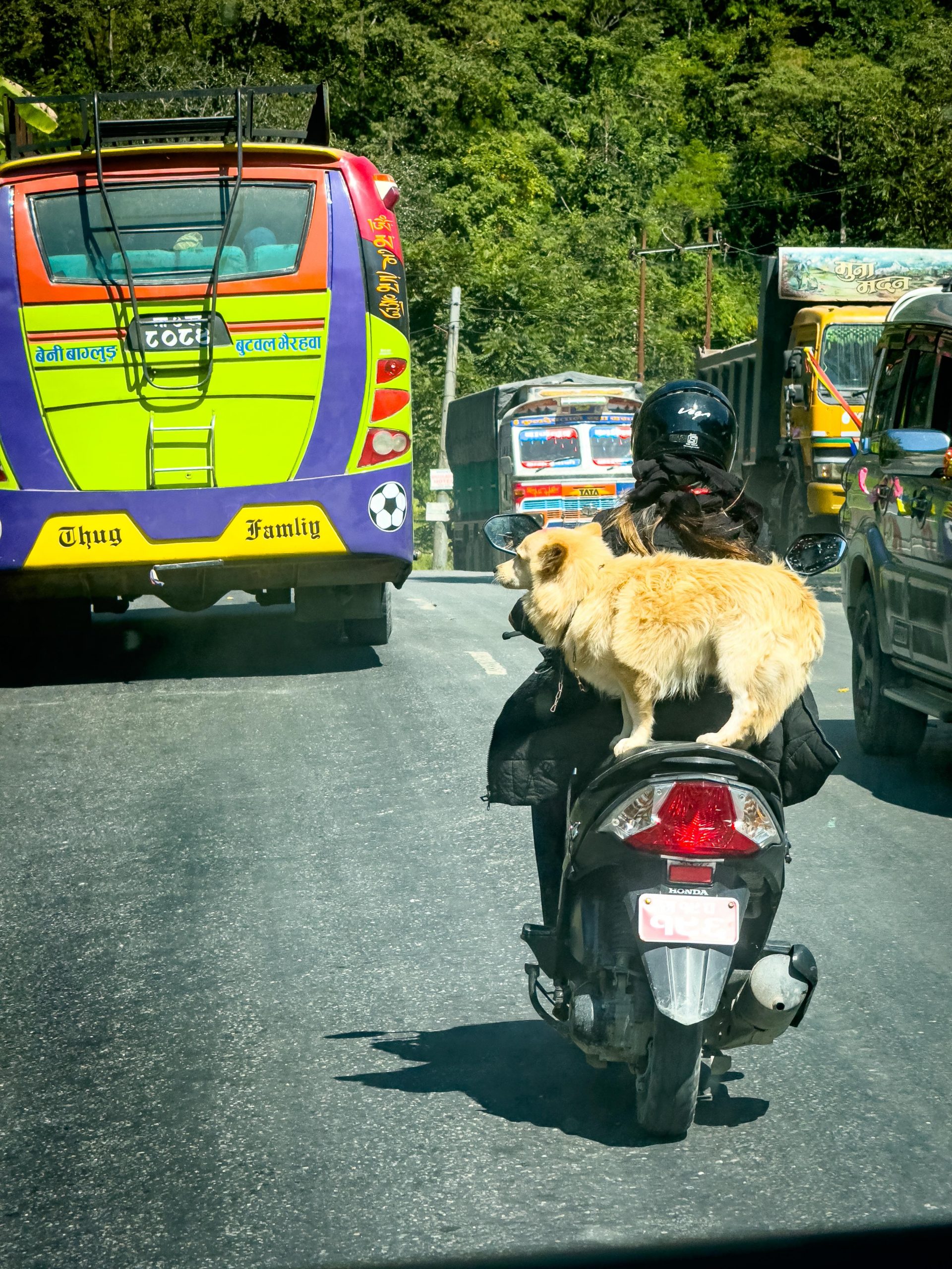
The city’s traffic is like a relentless, never-ending flow of hot lava from a volcano. It’s constantly in motion, slow speed, smoothly filling every space and reaching every hidden corner of the street. If a car needs to cross the street, it has to merge into the steady stream and find its way out, regardless of the location. Just watch out, because there’s a similar lava flow coming from the opposite direction. Drivers use their horns to signal their intention to pass the vehicle ahead, and every maneuver requires inch-perfect precision. The space between the cars and scooters is so tight that there’s only a few inches to spare before hitting another vehicle. Fortunately, most main roads in the city are paved, although you might come across missing chunks of asphalt or even trees sprouting in the middle of the road.
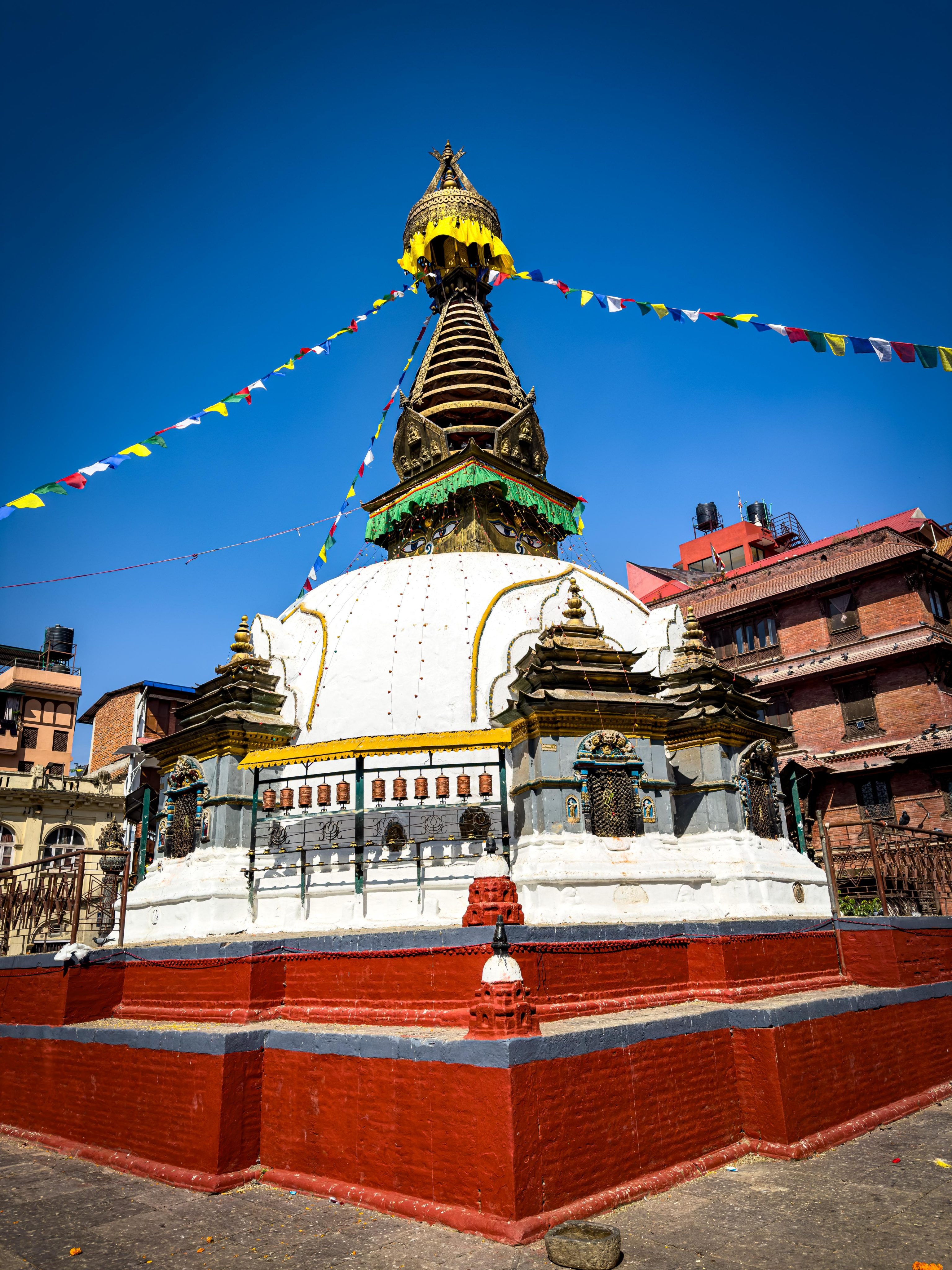
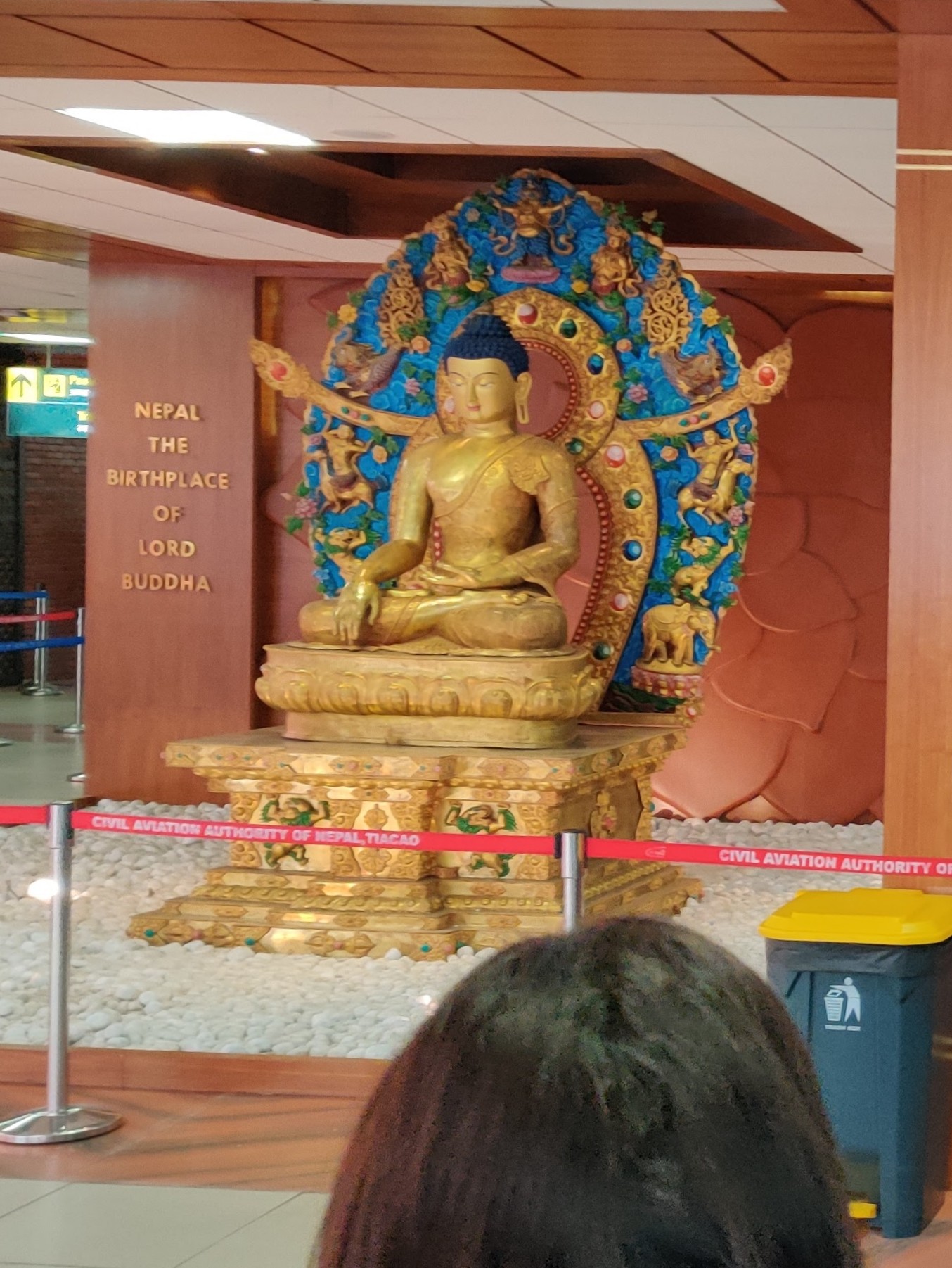
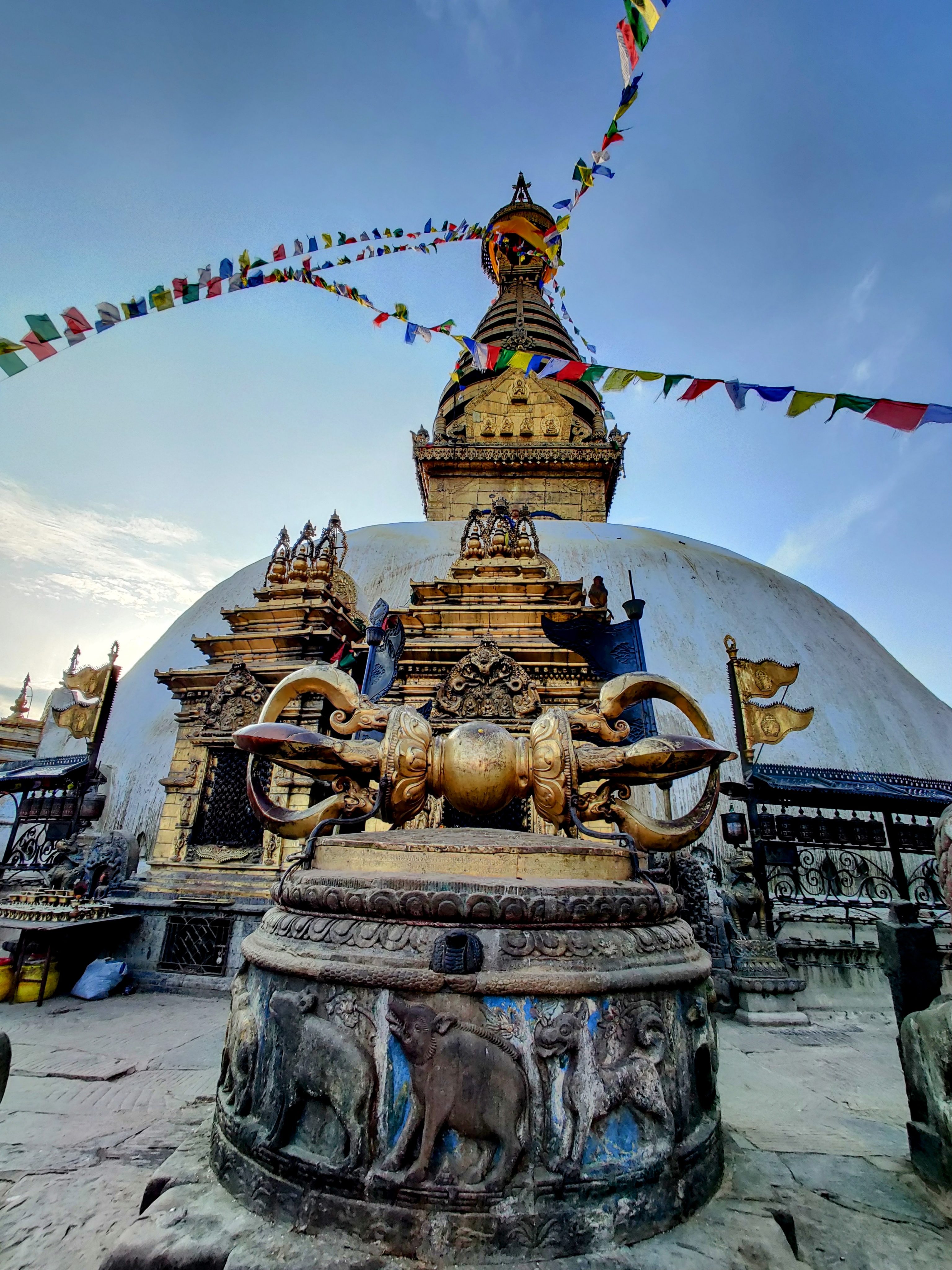
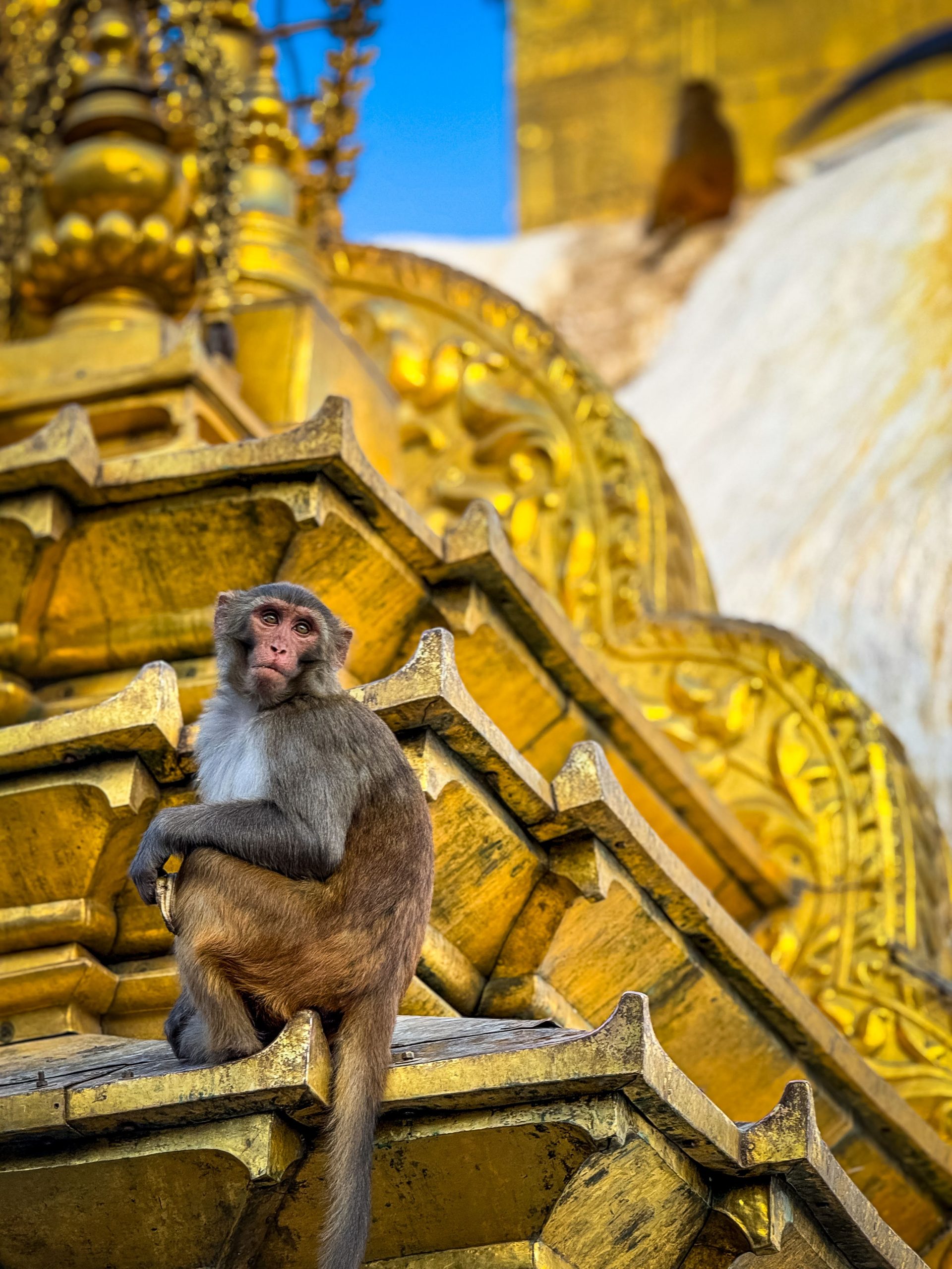
I stayed in the quarter called Thamel. It’s perfect place to explore an old-town within walking distance. One can see some Buddhist temples (called Stupa), UNESCO World Heritage Durbar Square (one needs to pay to get in) and many shops to buy The North Face apparel or rather called The North Fake 🙂 As usual, I went for the haircut to the local barbershop and hoping not getting anything nasty on my hair and skin. There is another tourist attraction called Monkey Temple, perhaps worth to see to kill the time in Kathmandu.
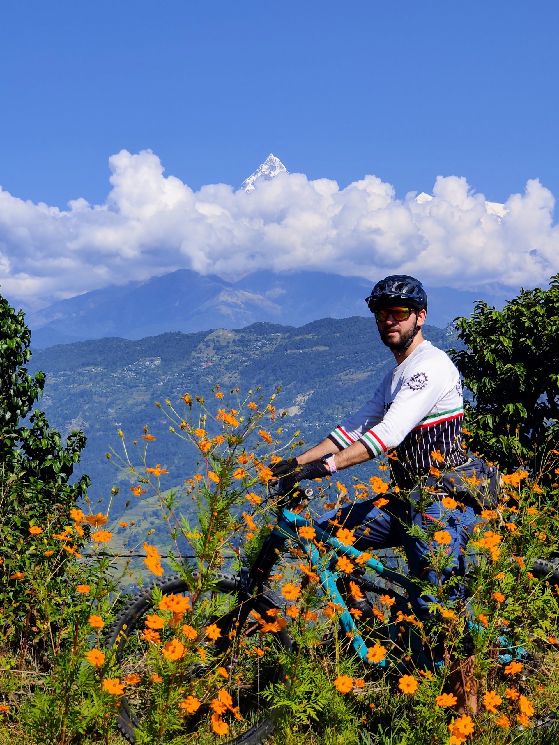
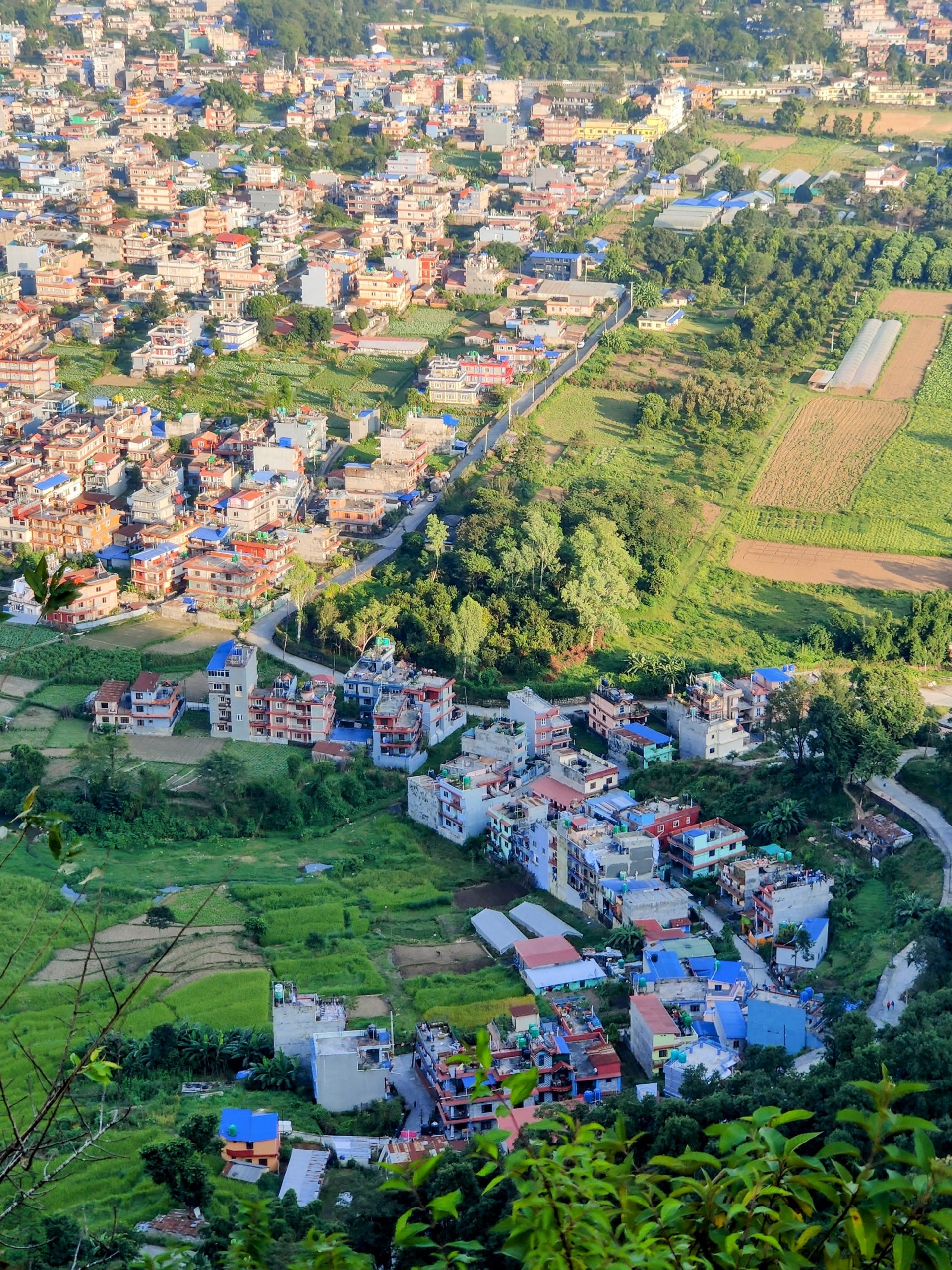
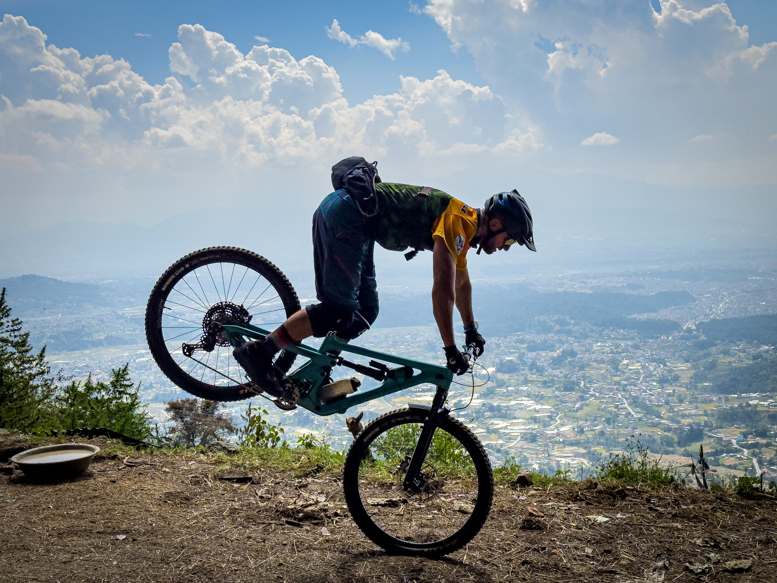
Just bit further away to the east, geographically speaking, but light years distanced, speaking of driving experience, one can find the Nagarkot area. It’s placed about 800 meters above Kathmandu with great views on entire area from the 2100 meters above the sea. We went there for Enduro mountain bike riding. It’s nice riding between the trees, colorful leaves and the ground layer is similar to the one in the southern France.
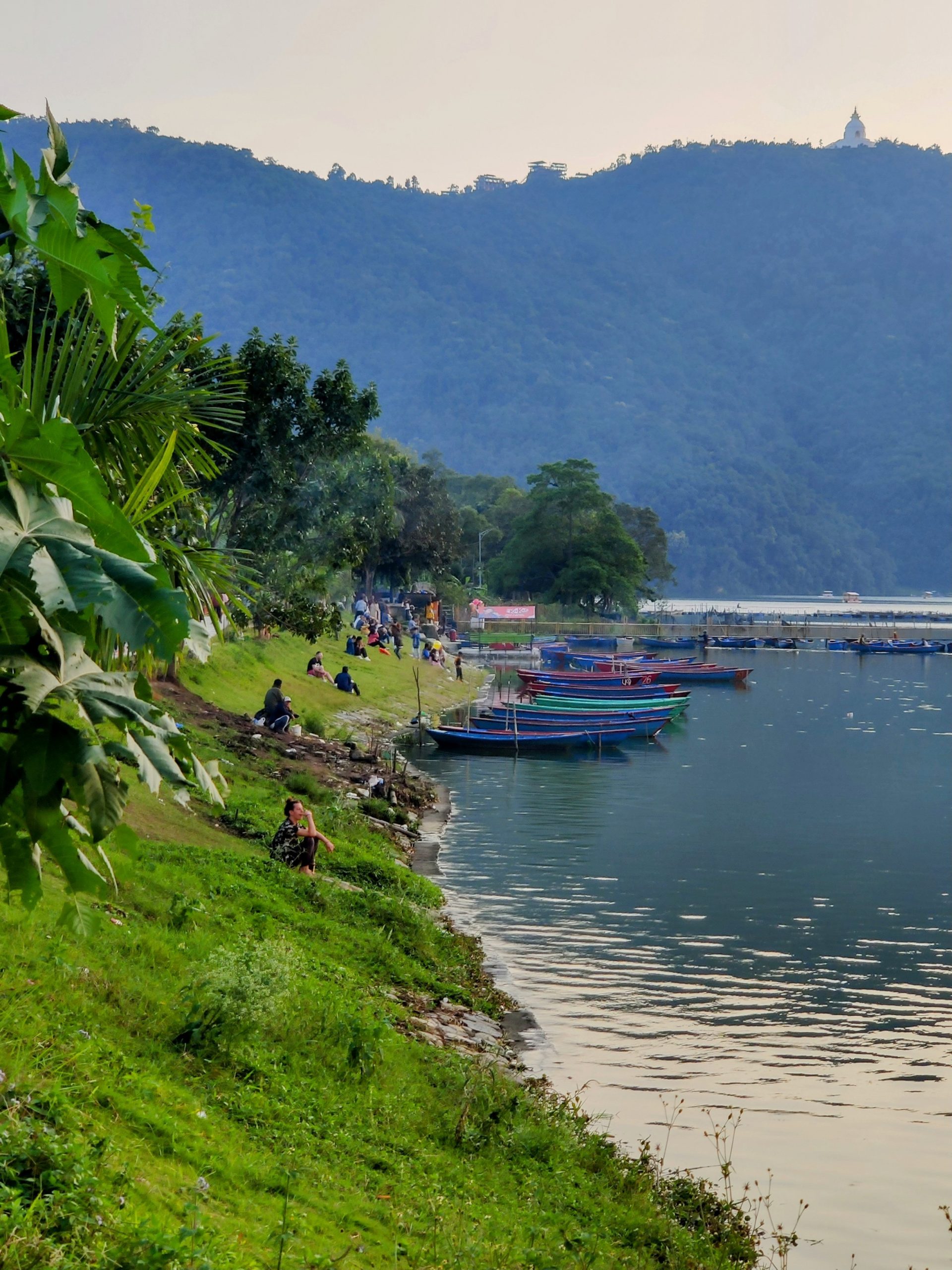
Pokhara
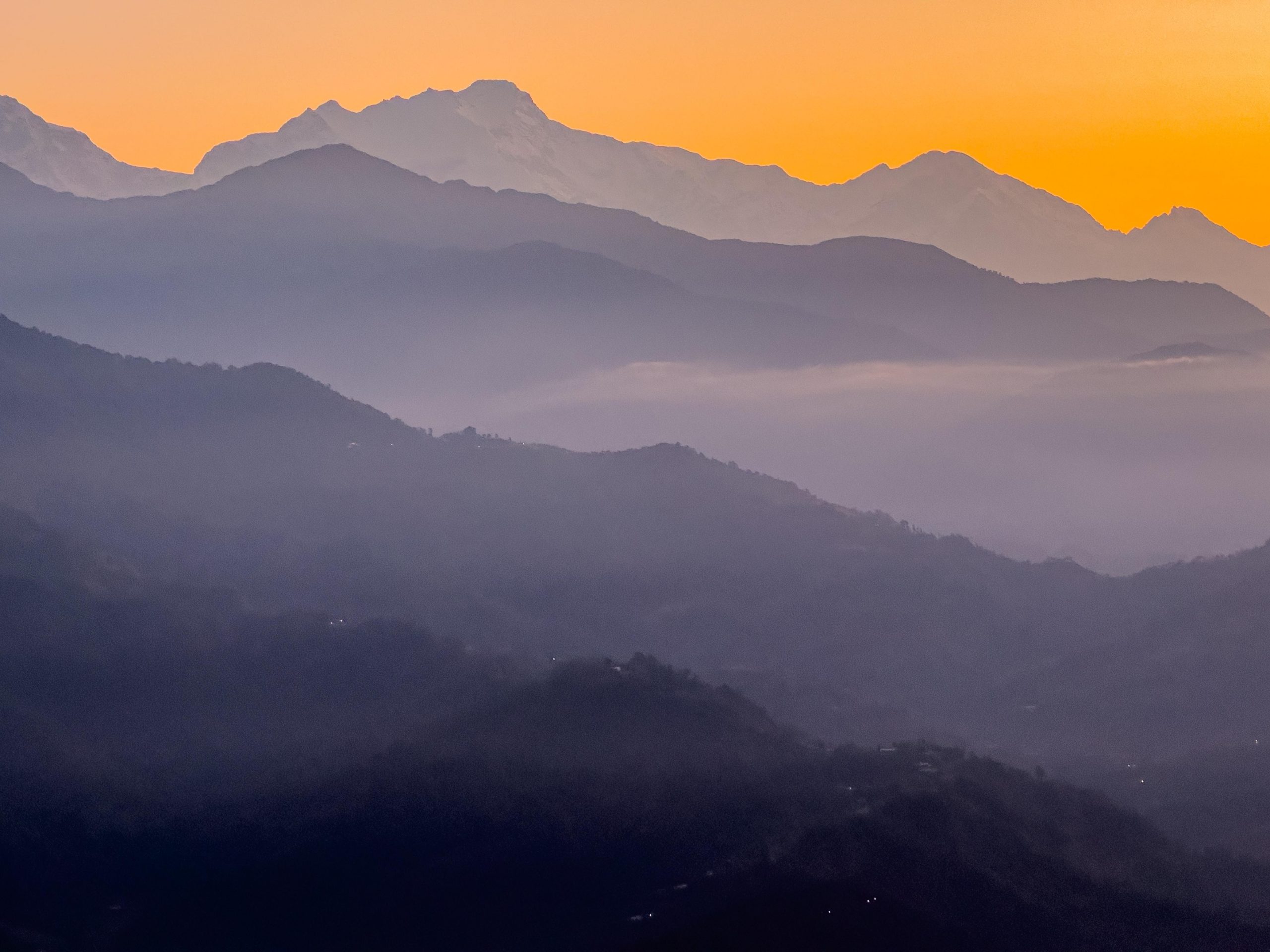
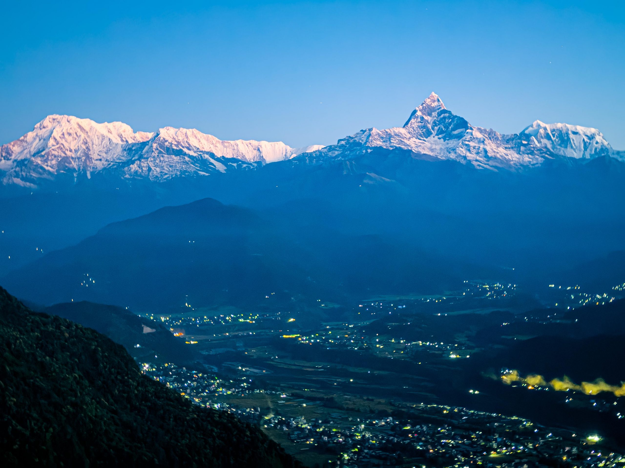
Pokhara, the second largest city in Nepal after Kathmandu, is known as the city of lakes in Nepali language. On calm days, the lakes offer stunning reflections of the mountain range in the background, including three of the world’s highest peaks: Annapurna, Dhaulagiri, and Manaslu. There’s another peak closer to the city that appears even more imposing, similar to Switzerland’s Matterhorn. It’s known as Fishtail.
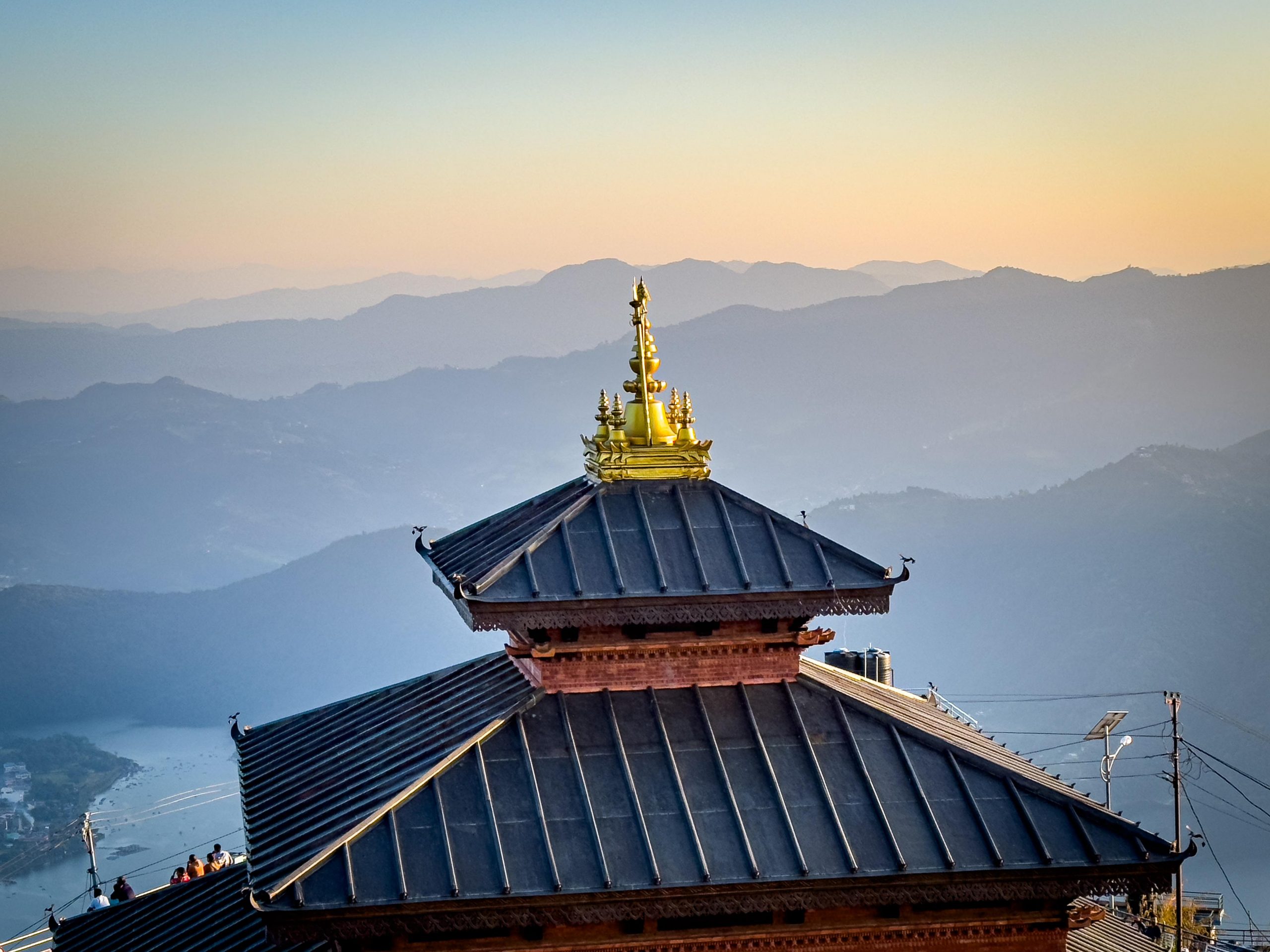
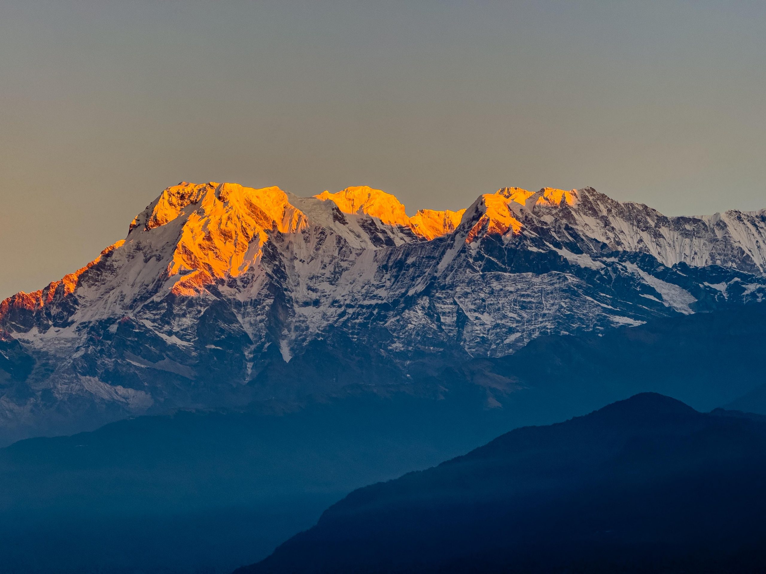
A trip to Sarangkot for both sunset and sunrise is a must. You can try to guess which peaks catch the first or last sunlight, it’s a truly breathtaking experience. The hike to Sarangkot is less than 900 vertical meters, and as you hike, you’ll pass by small houses and might even get a glimpse of the rural lifestyle, with children playing, singing and clapping.
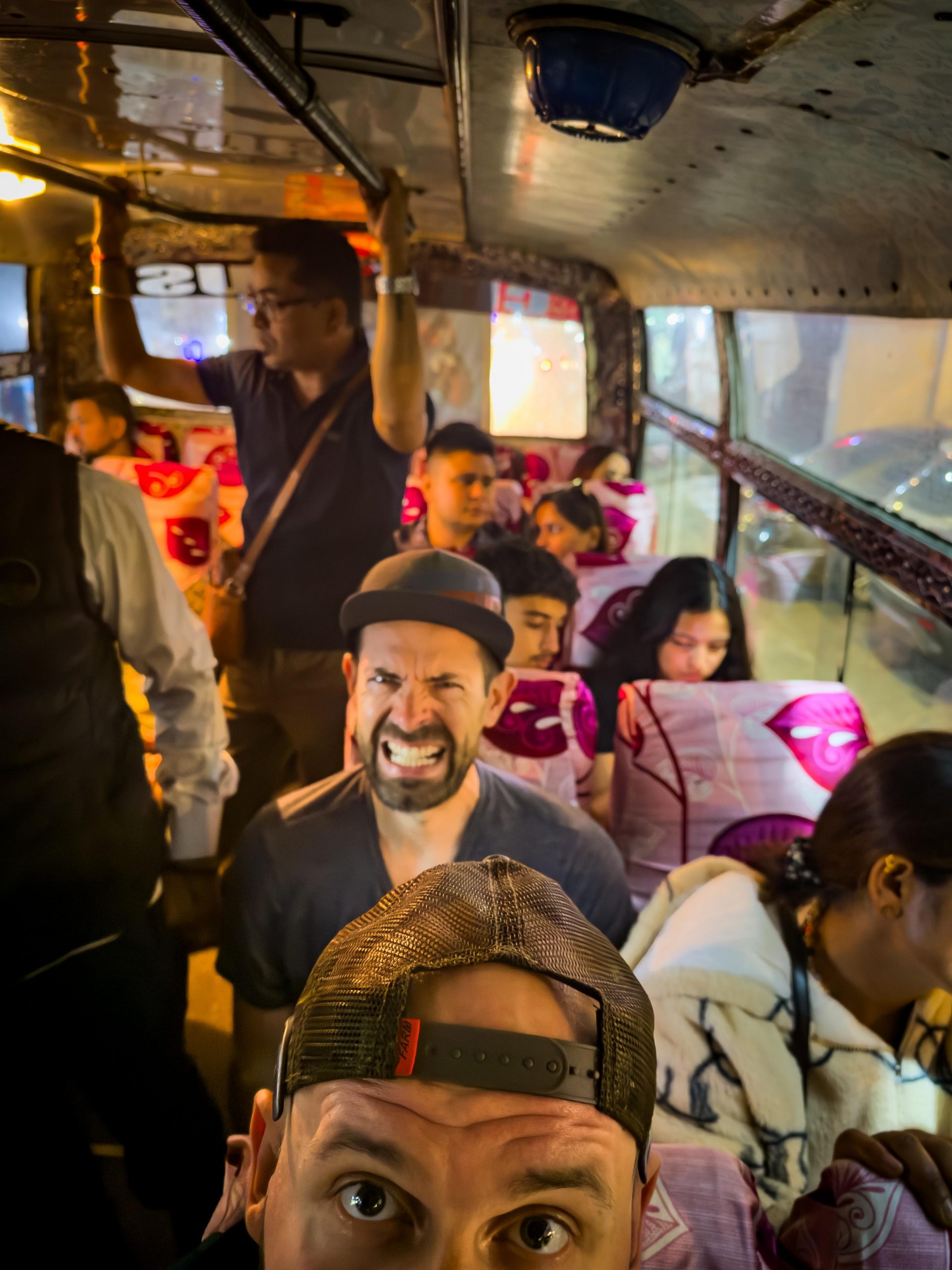
If the hike is too difficult, you can also opt for the modern cable car for the journey back down or even up. Yes, it’s modern and meeting European standards. The road to the city center isn’t very pedestrian-friendly, particularly at night, so taking the first bus is a good idea for another very special local experience. Earlier, we even saw a live goat in the trunk of the bus.
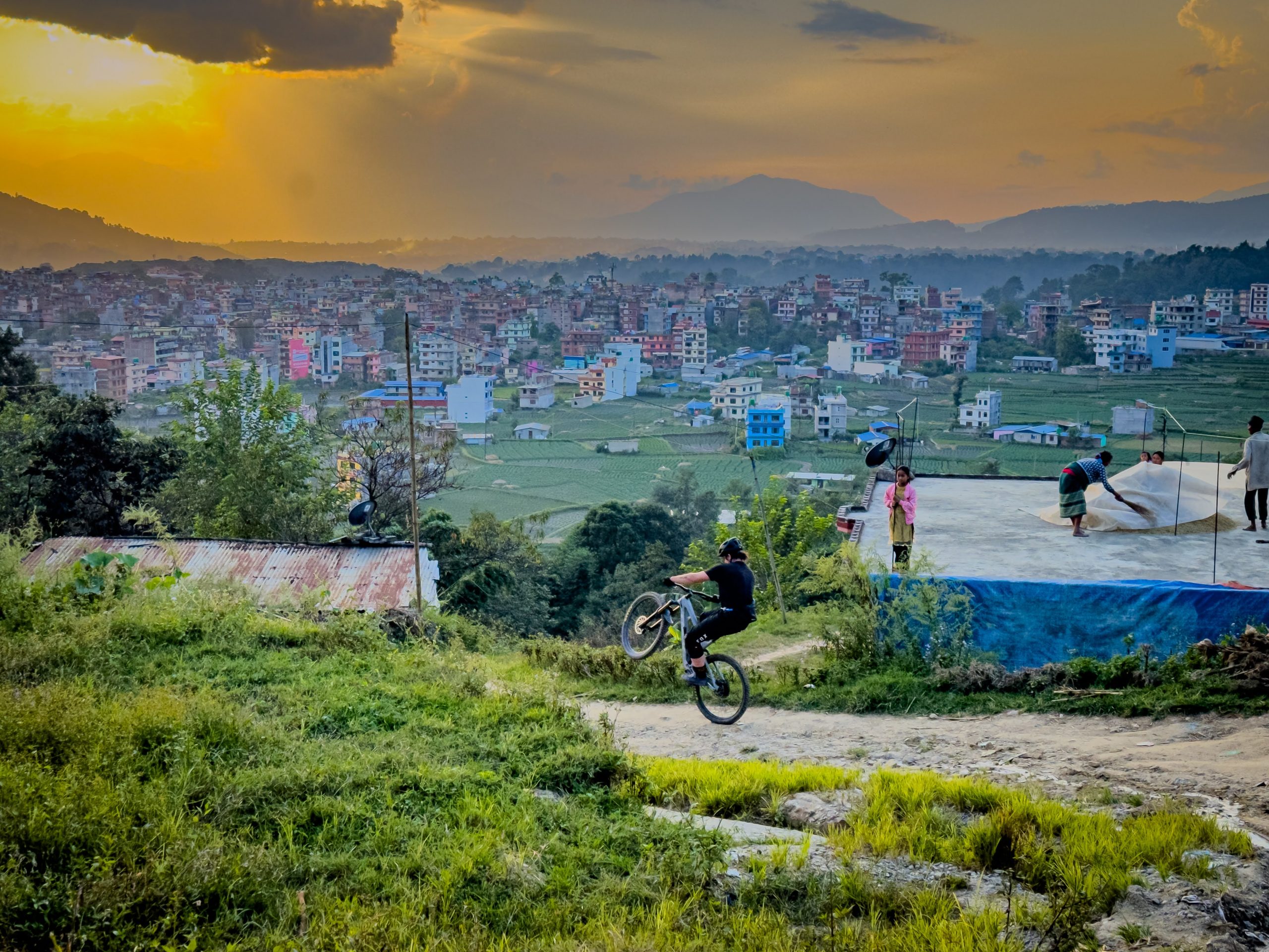
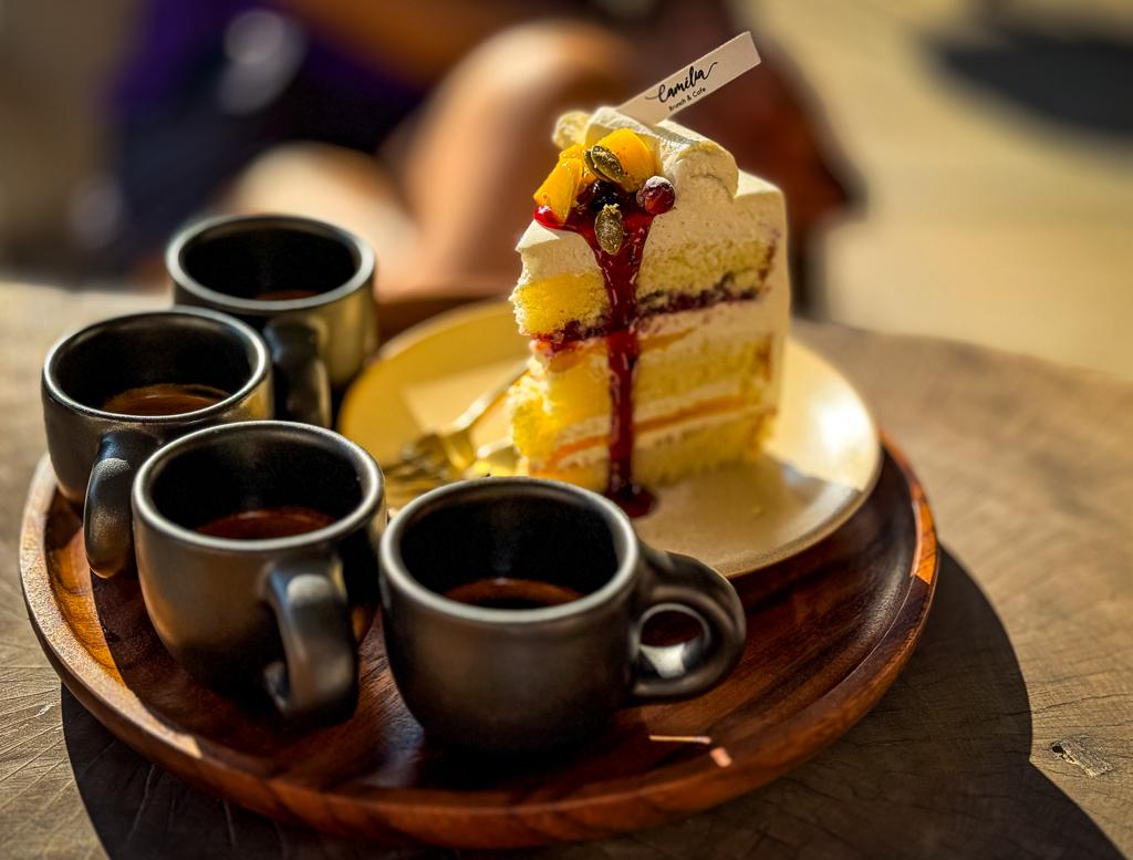
To me, Pokhara feels like this hipster town with its warm climate, palm trees dotting the area, and a lovely promenade hugging the lake. There are some really cool bars, and the roads are surprisingly free of heavy traffic. It’s a perfect blend of locals and tourists, creating a vibrant and welcoming atmosphere. Make sure not to miss Café Camelia, the best spot for coffee in town. Other notable sights include Pumdikot with its religious temple, or as we did just wander around for a short hike in the Methlang area, a local spot where you’ll likely encounter locals in sandals tackling the hike.
Mountain Bike trail goes from the top of Pumdikot down to the city. It can get wet, one needs to be mindful of the muddy ground, leaves and slippery rocks.
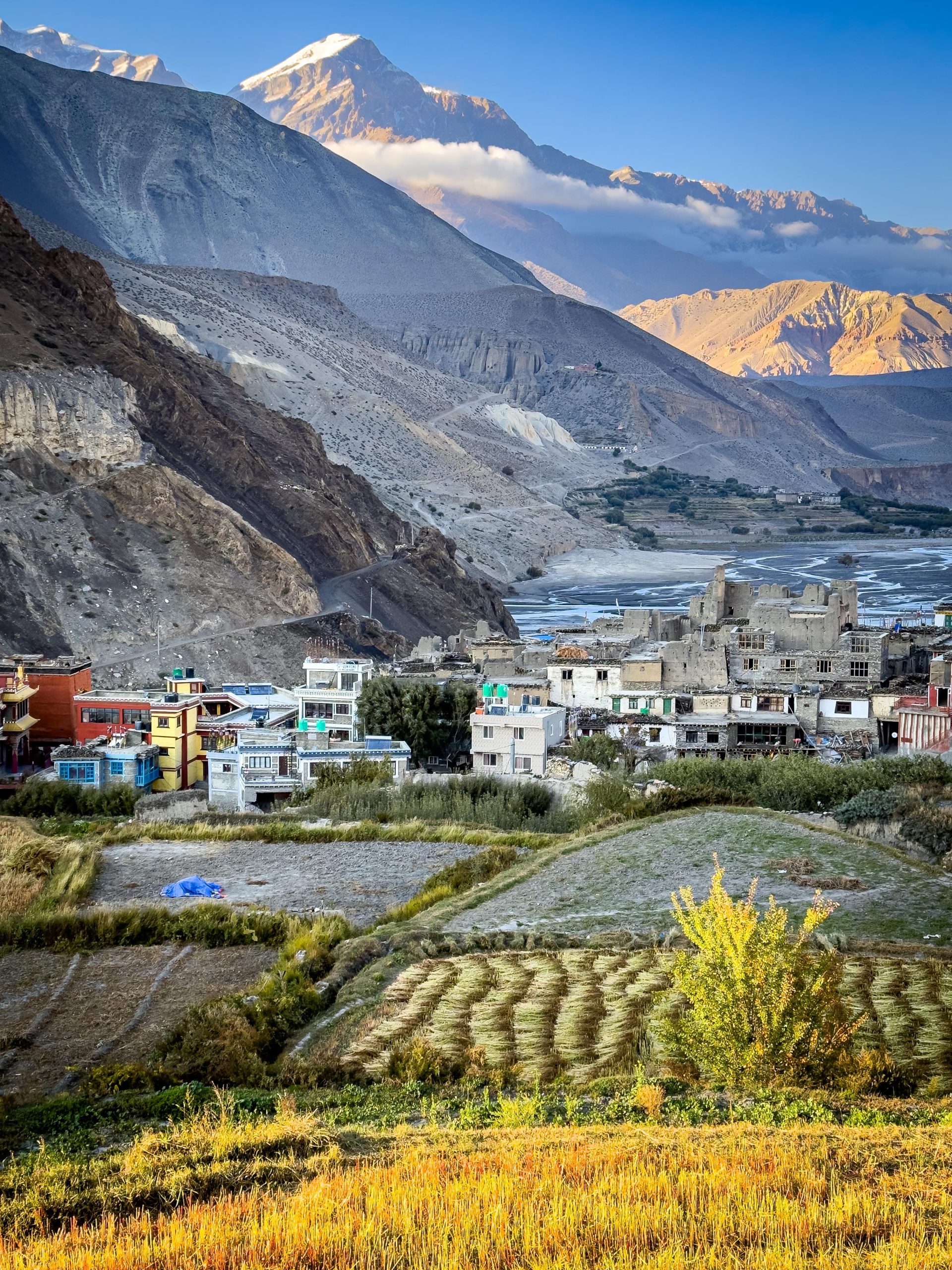
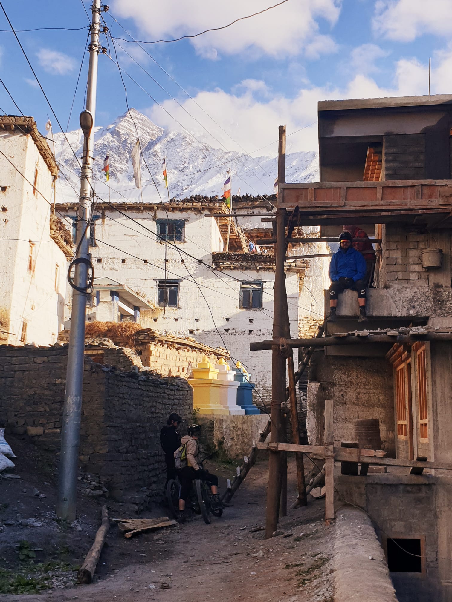
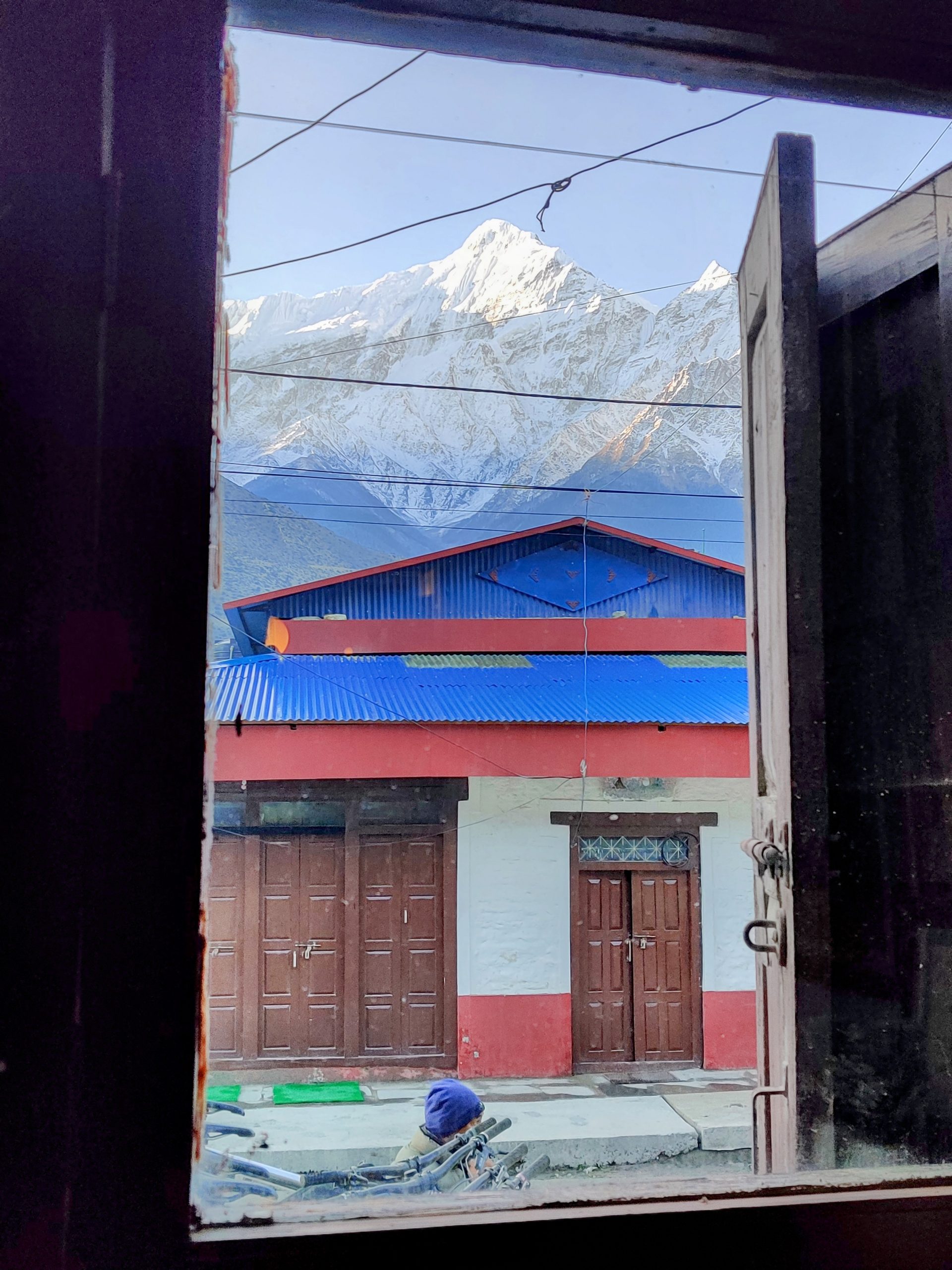
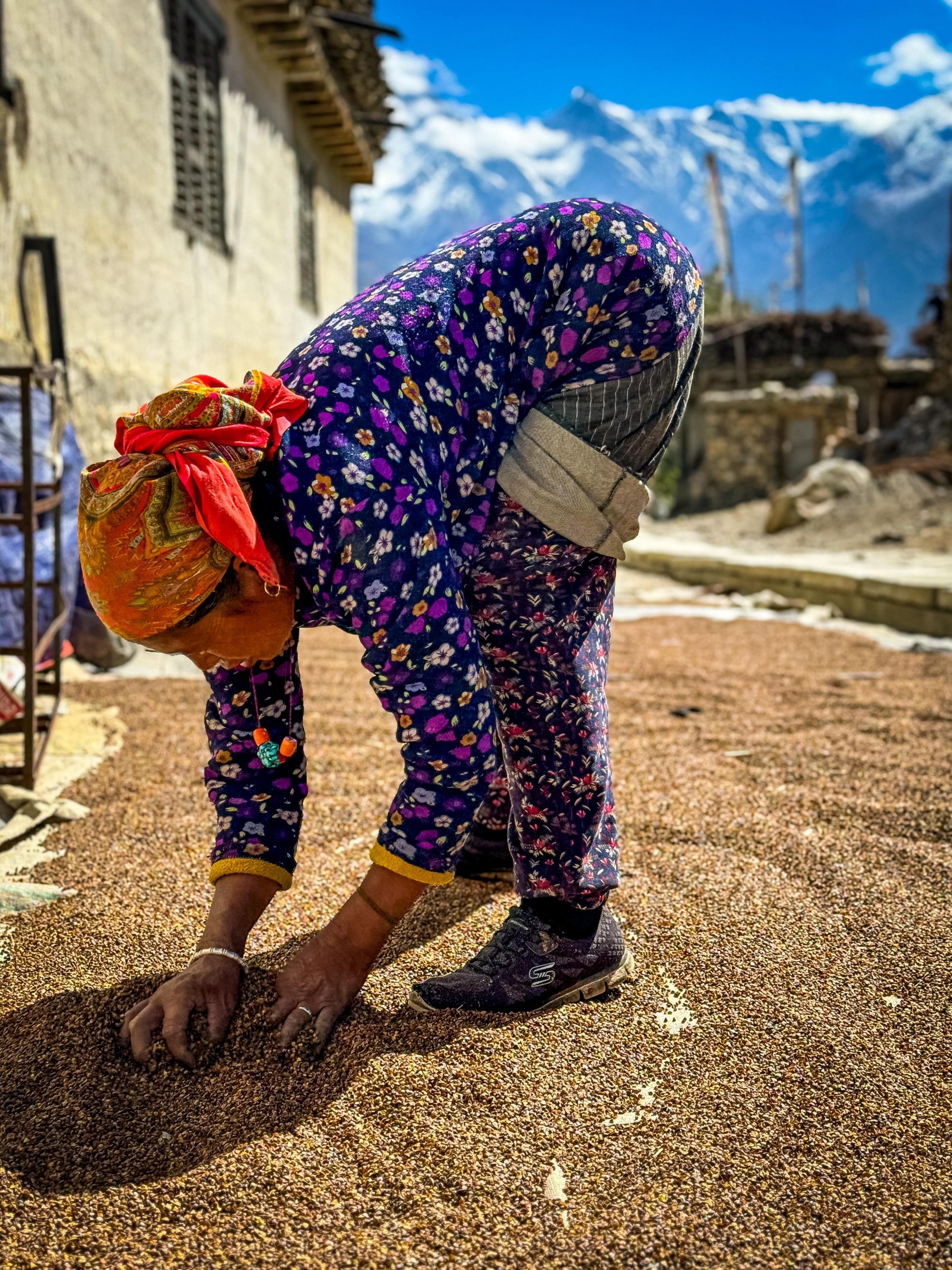
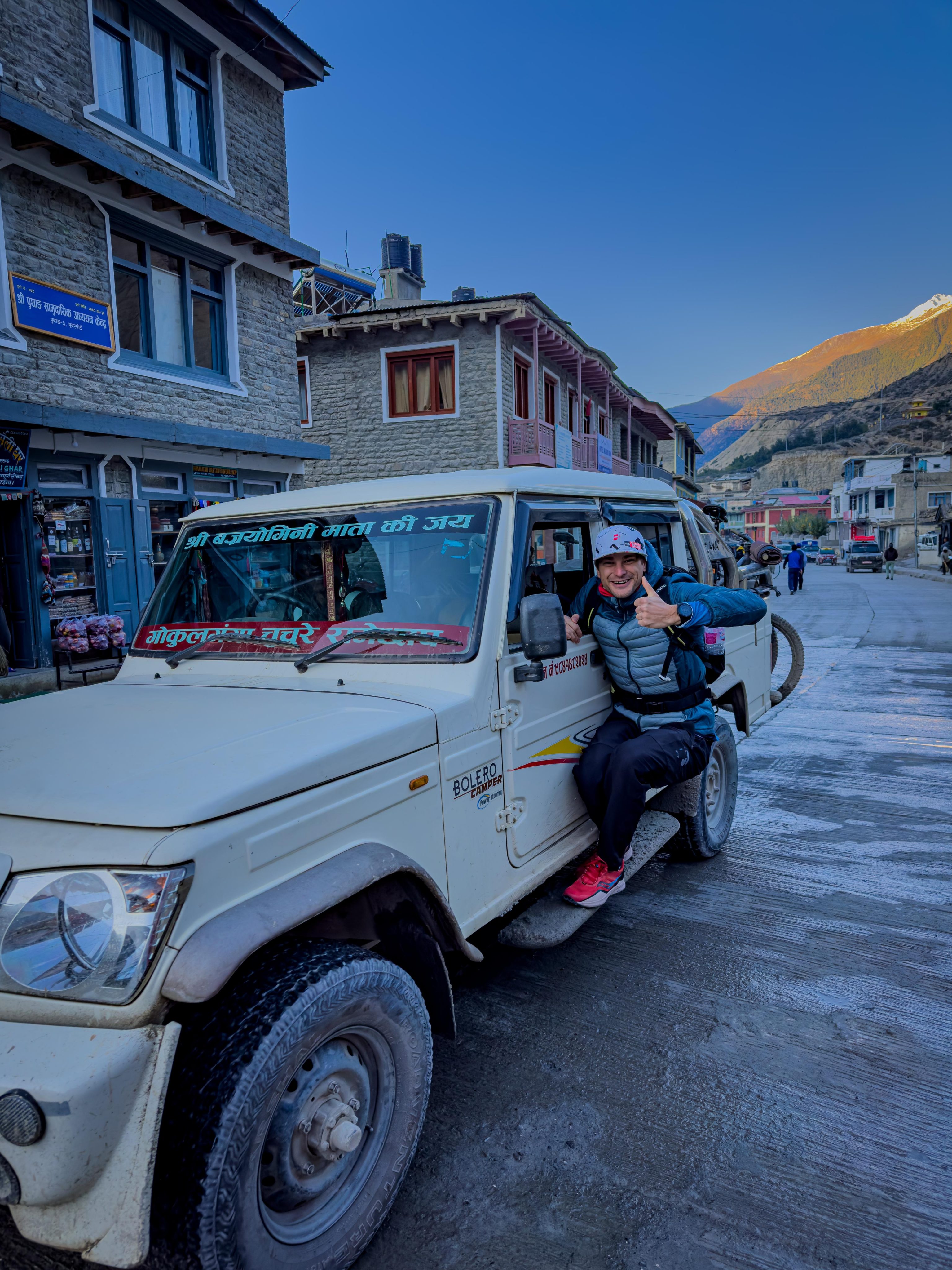
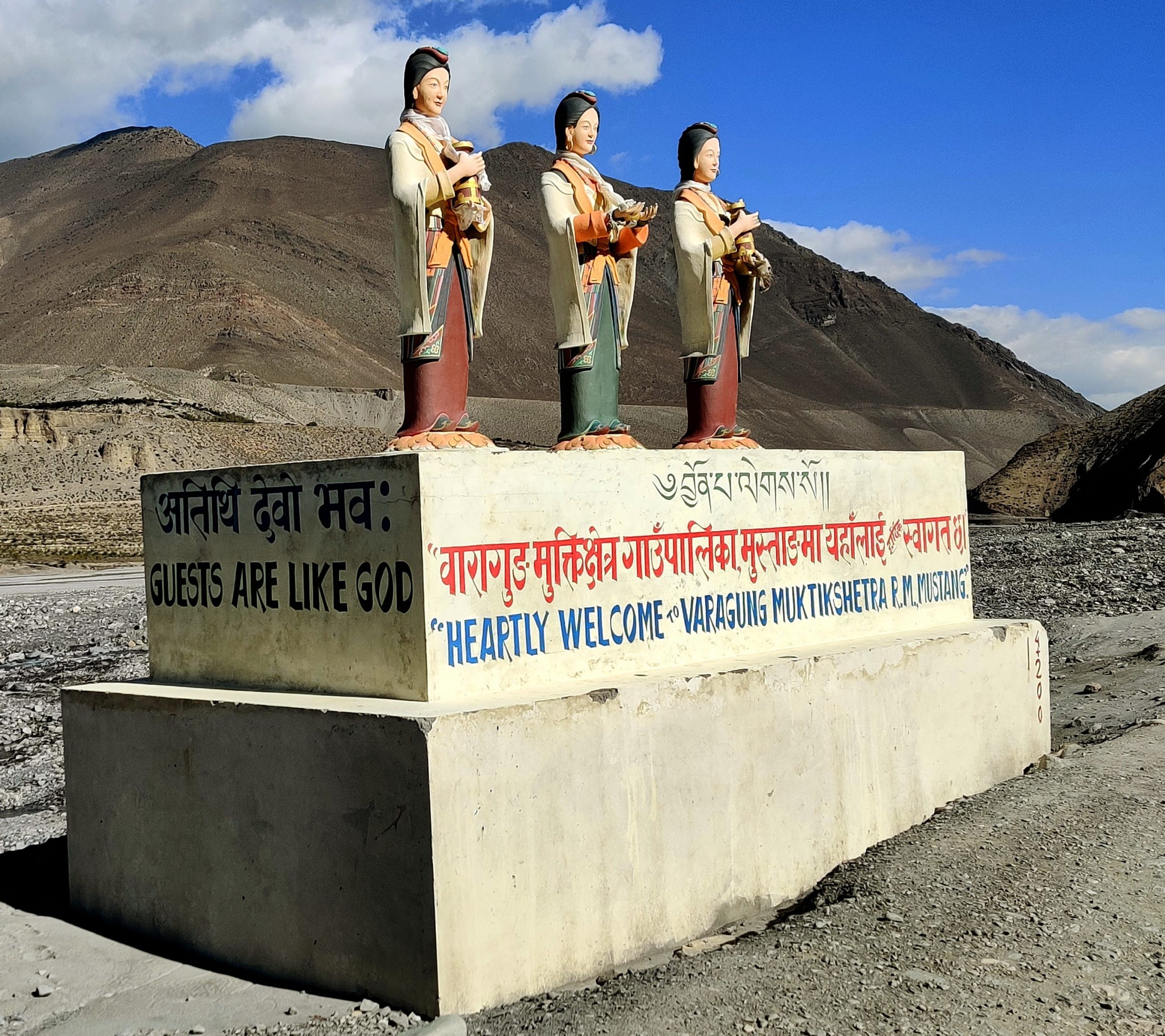
Lower Mustang
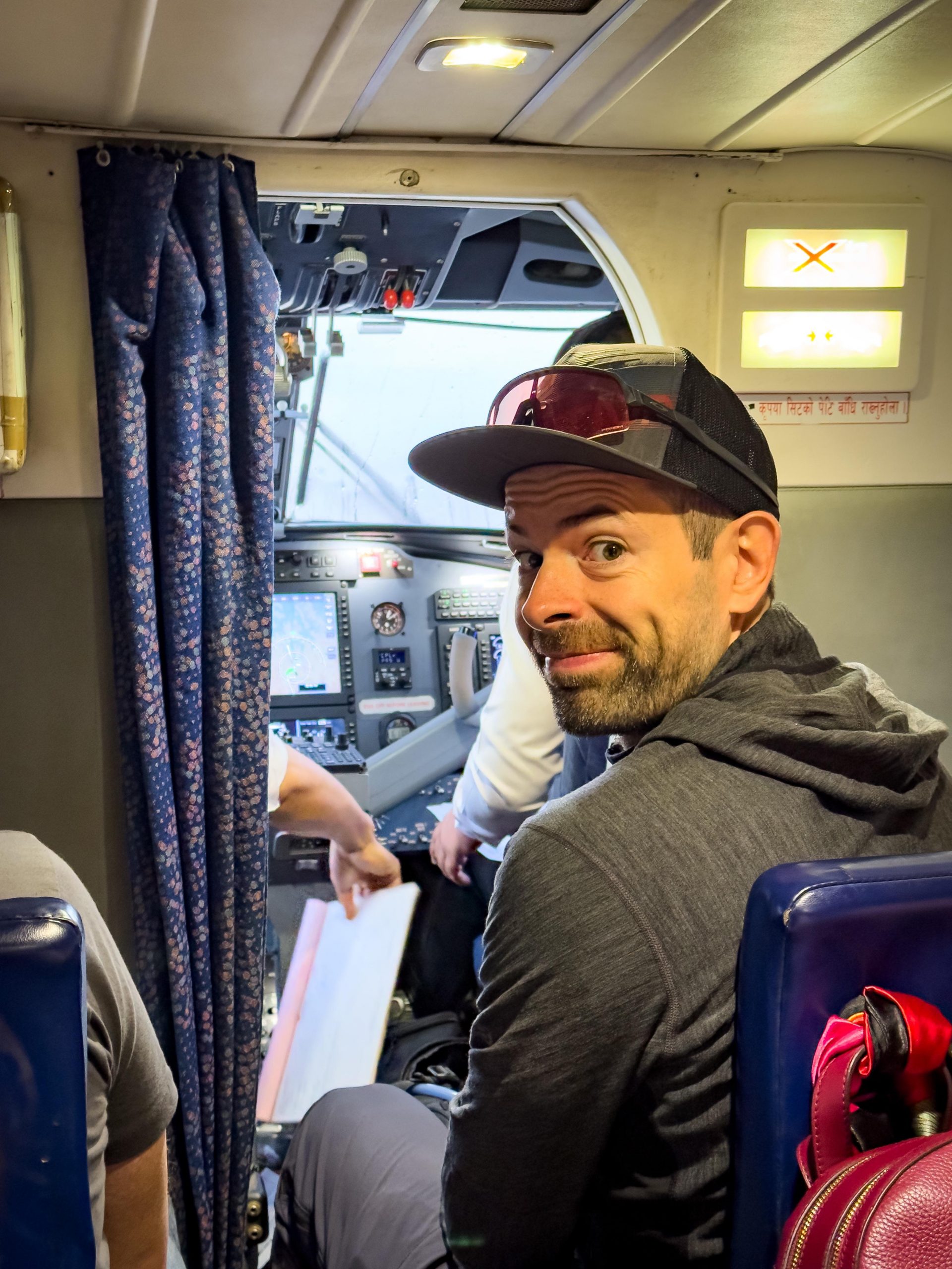
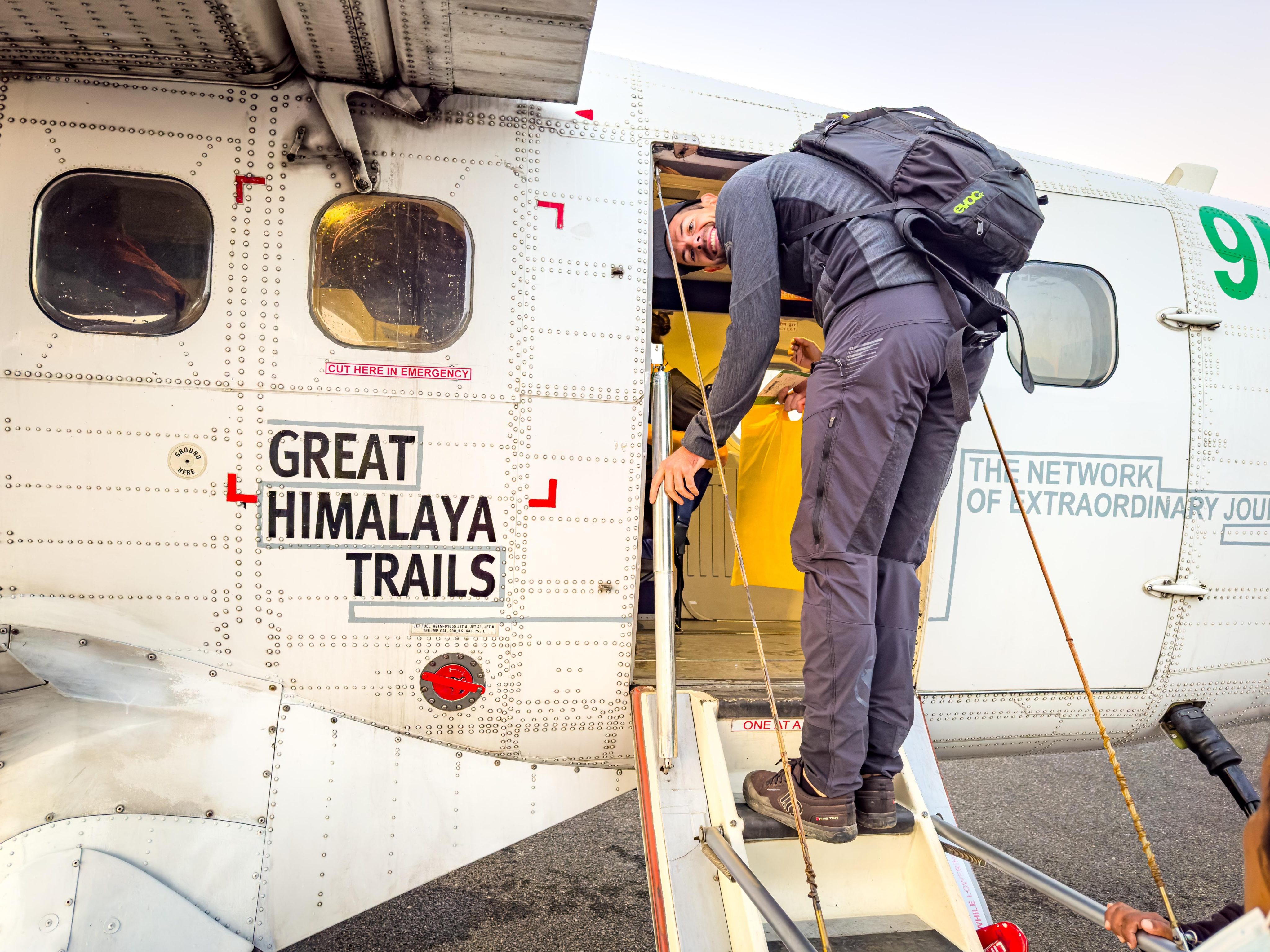
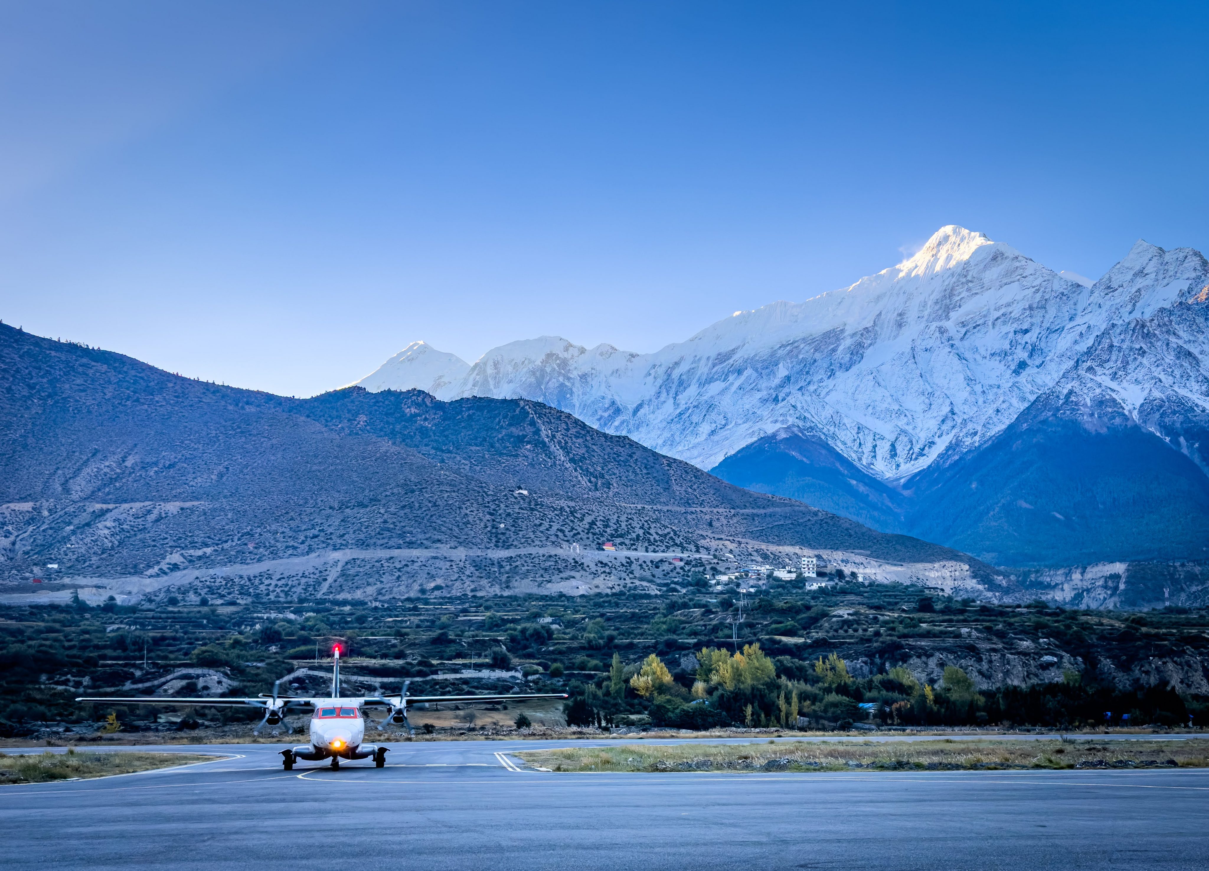
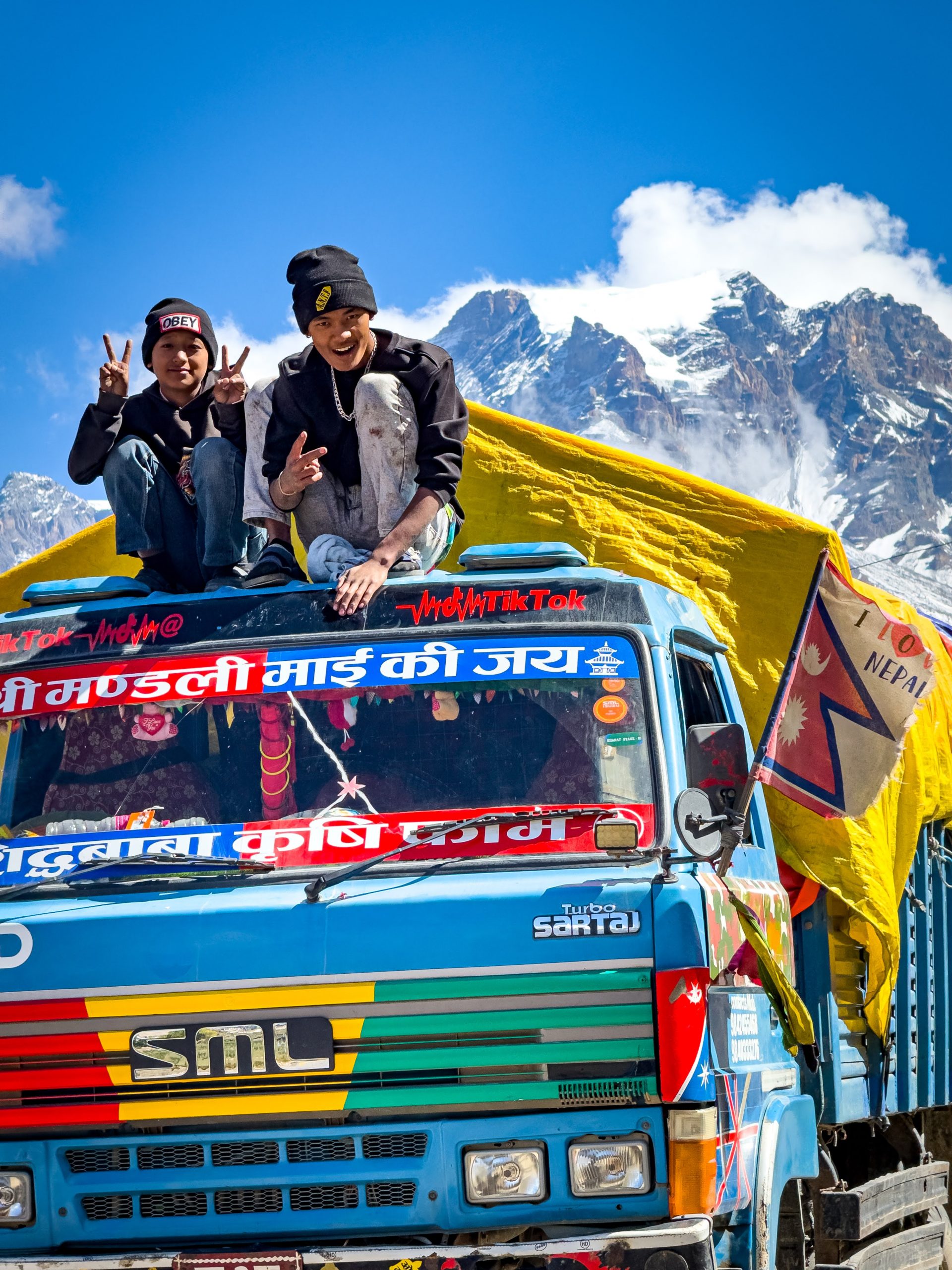
Driving around Mustang is other beast, luckily we arrived by plane and left by bikes. The flight from Pokhara to Jomson lasts about 20 minutes and takes you through this valley with the giant Himalayas on both sides. Because of the crazy winds, it’s best to grab the earliest flight you can. One of our group told me there used to be a crashed plane on the side of a mountain a while back, like a warning or maybe a cool welcome from the locals.
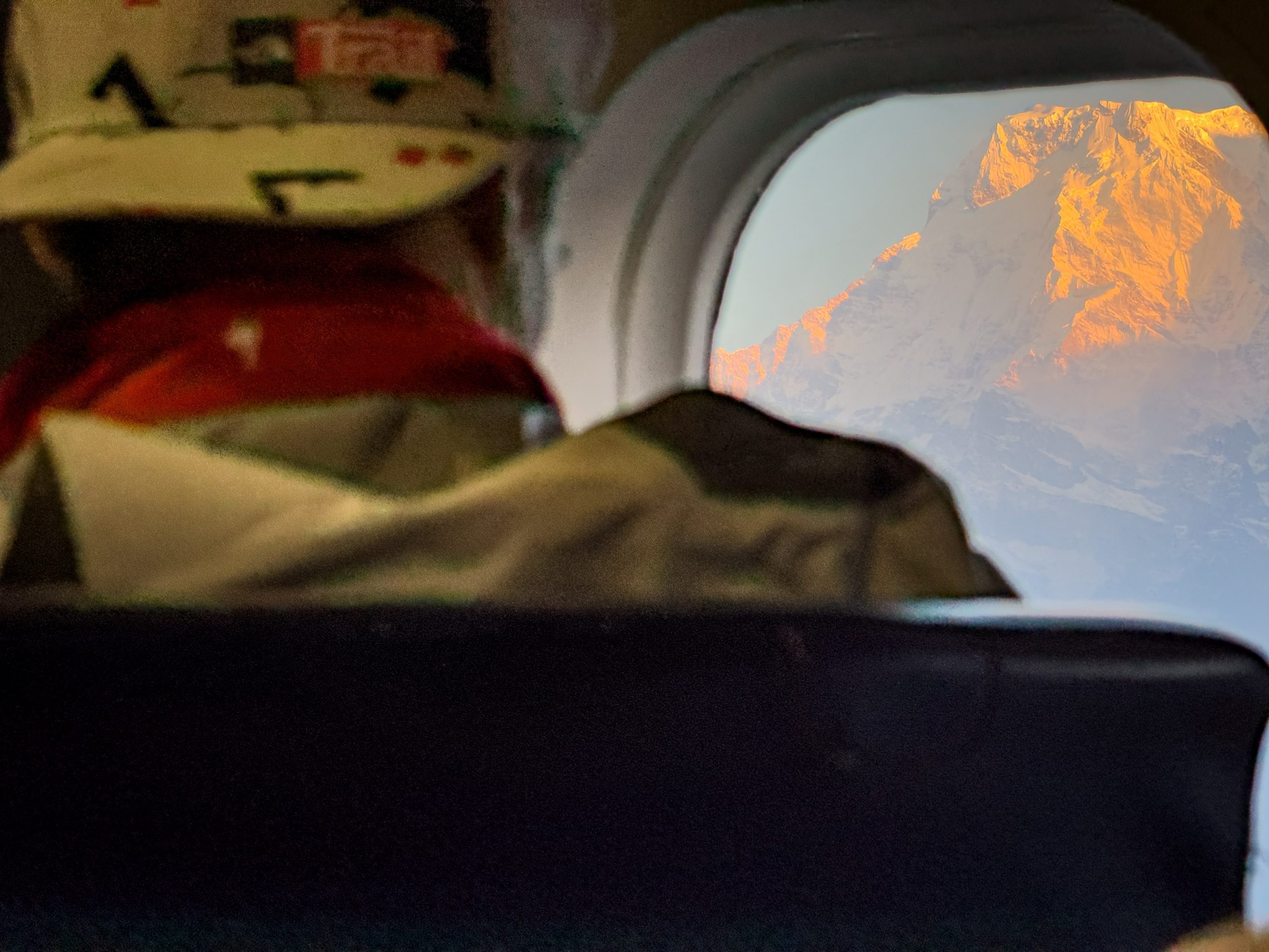
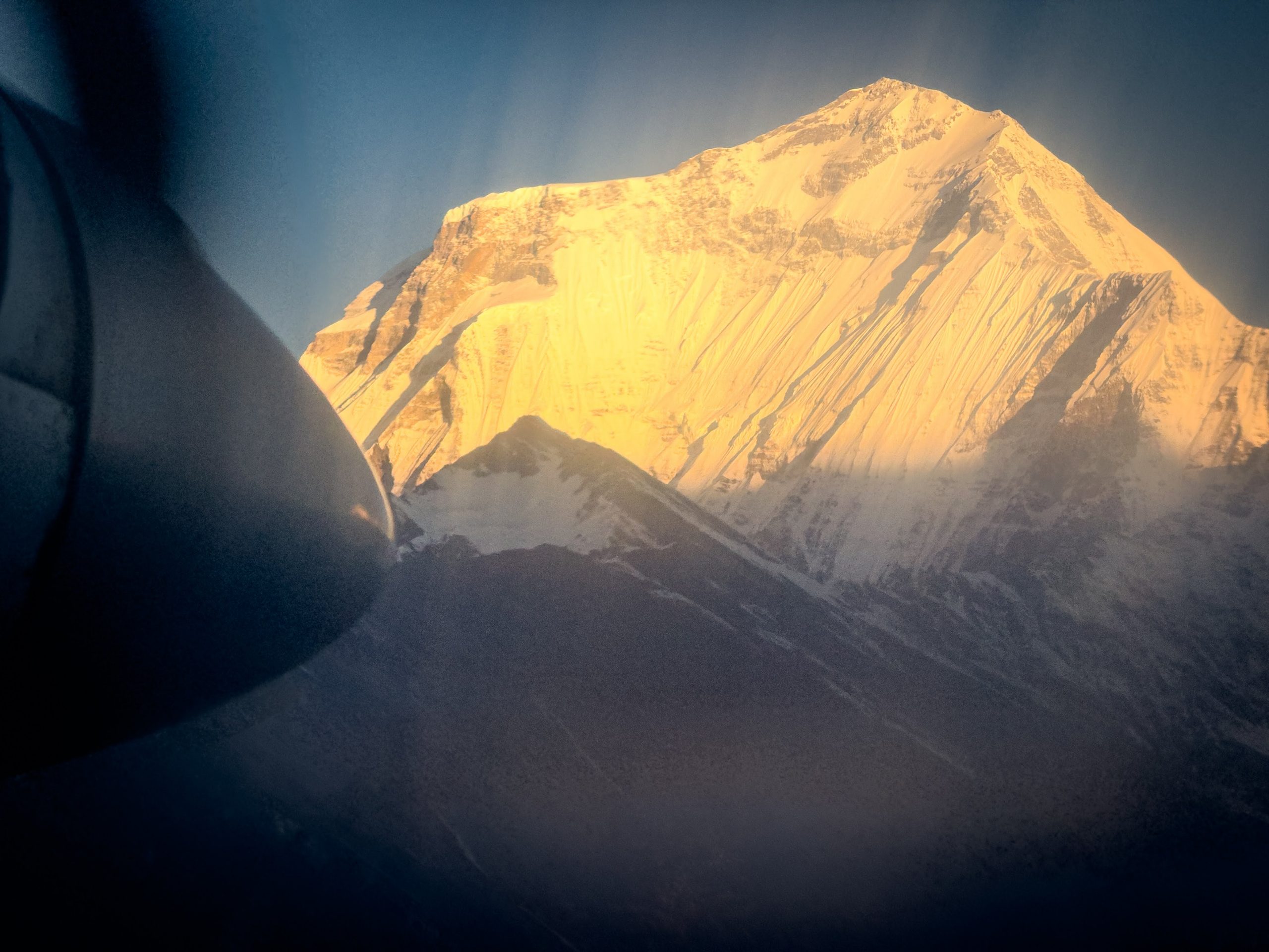
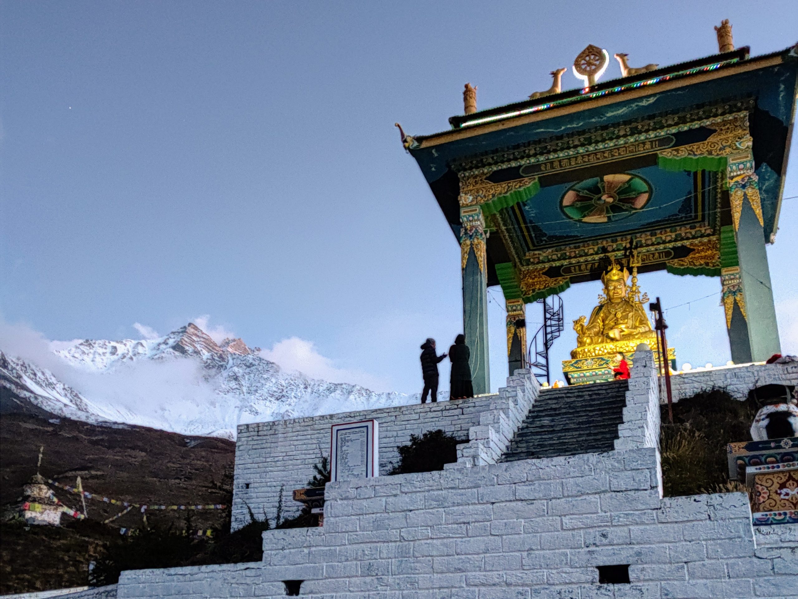
The plane is pretty tiny, fitting around 20 people and some small bags. Bikes and big bags were sent to Jomson ahead of us by our vans. The plane is really tiny. There’s just this curtain separating the pilots from the rest of us. I got the front seat in very first row, so my legs were practically in the cockpit. The little propeller plane goes up in the air and cruises at around 2400 to 3700 meters, with these valleys and highest peaks in the world all around getting the first light of the day. Man, everyone on that plane had this collective “wow” moment, just like that feeling when something’s so amazing you can’t believe it’s real. Landing in Jomson and getting out of the plane, I’ll never forget it. The chilly breeze on my face, the seven thousand peek Nilgiri in front of me basking in the morning sunlight, it felt just like the start of a killer ski trip.
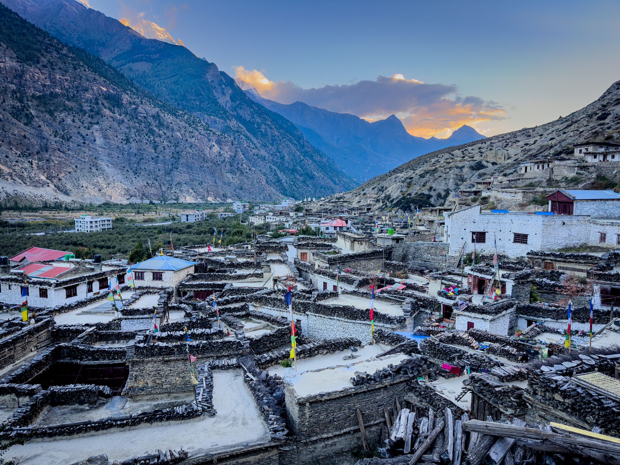
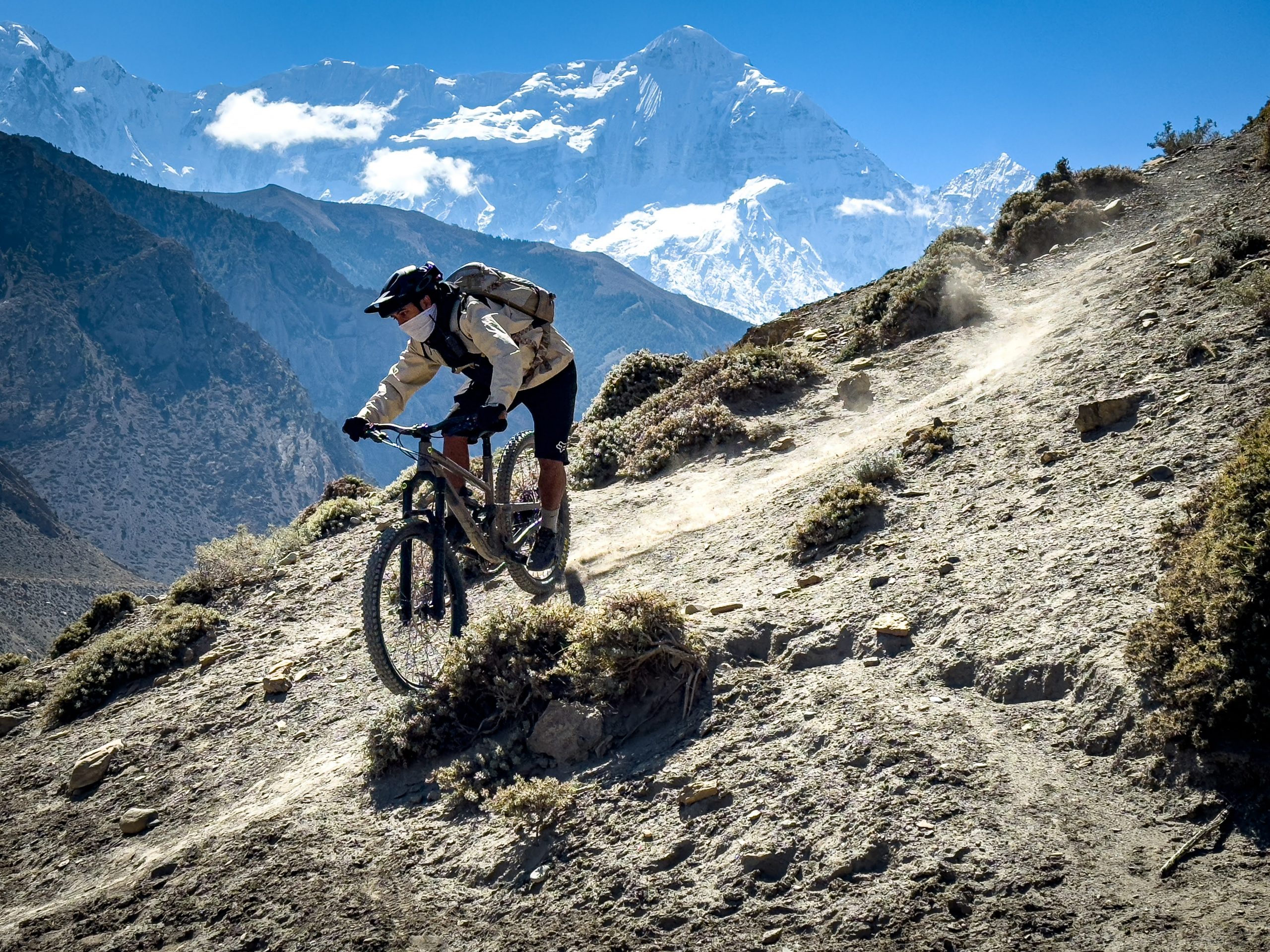
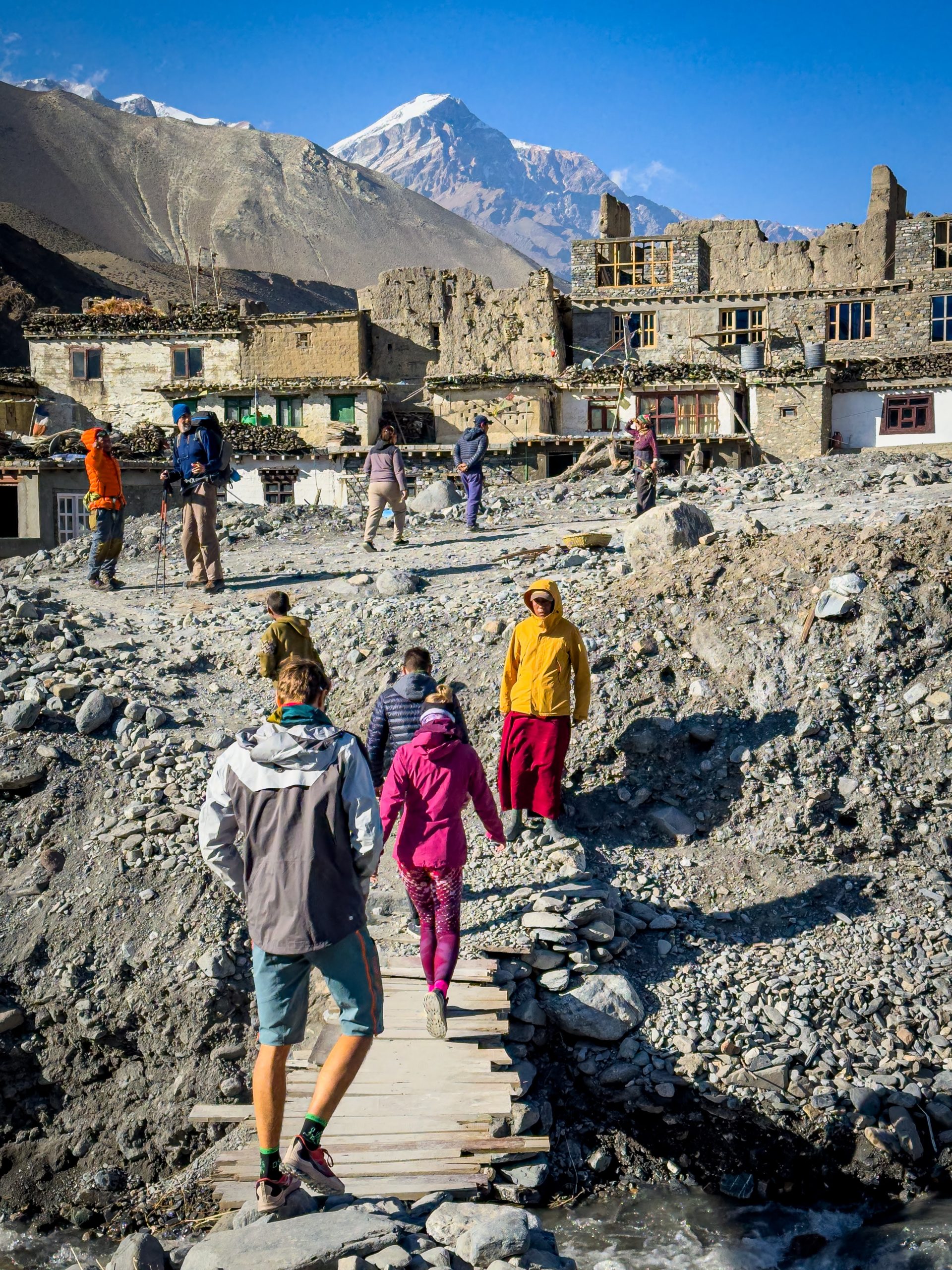
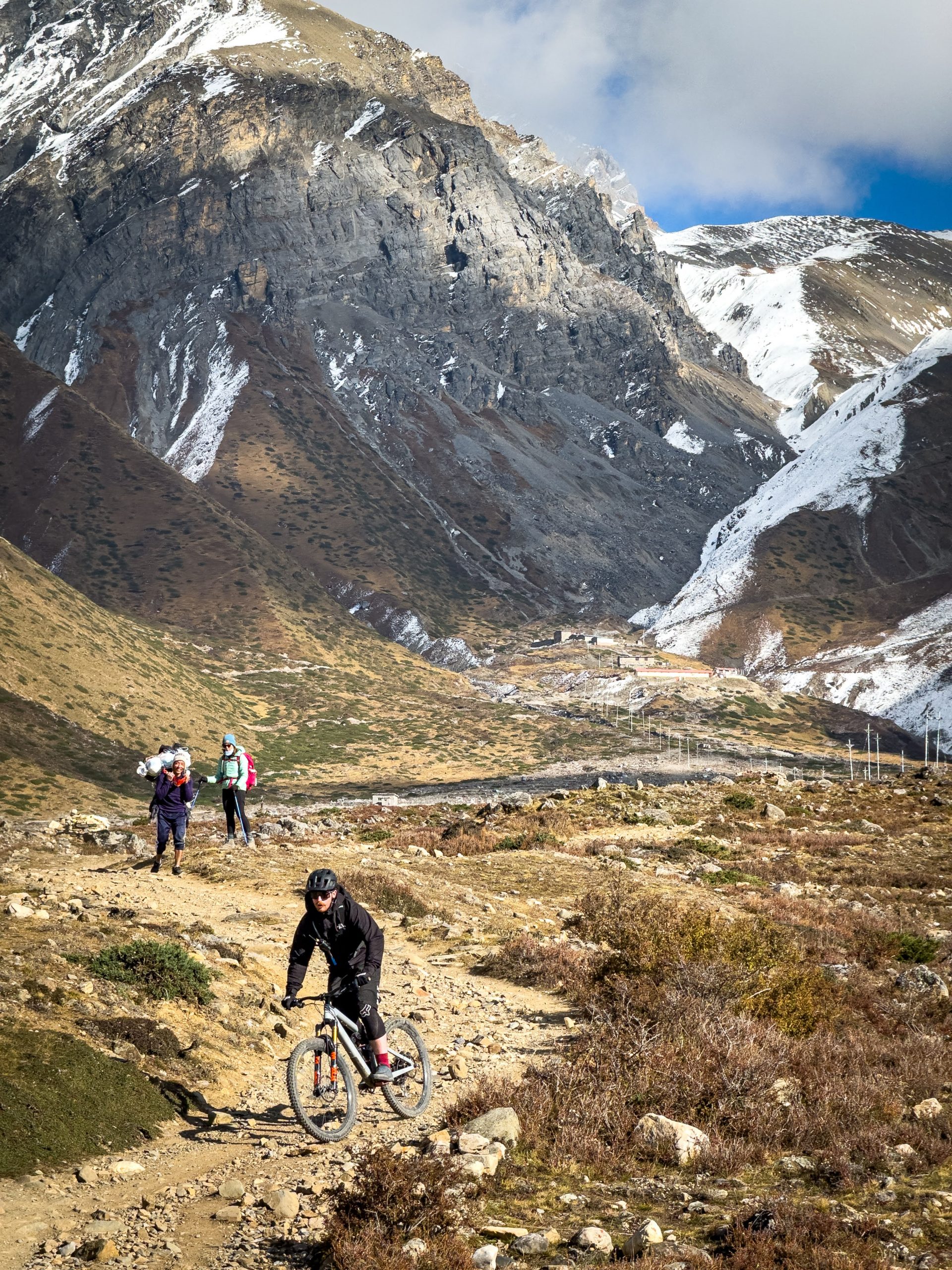
The vans made it right on time with all our necessary gear. After switching into our mountain biking clothes, we hopped on our bikes and began pedaling towards the next village, Kagbeni, with a quick stop at the Phallyak settlement. The landscape had transformed dramatically. Now, at an altitude of nearly 3000 meters, all we could see were rocks, sand, and barely any trees. However, the views were simply breathtaking, with the Nilgiri mountain taking center stage in the entire picturesque scenery.
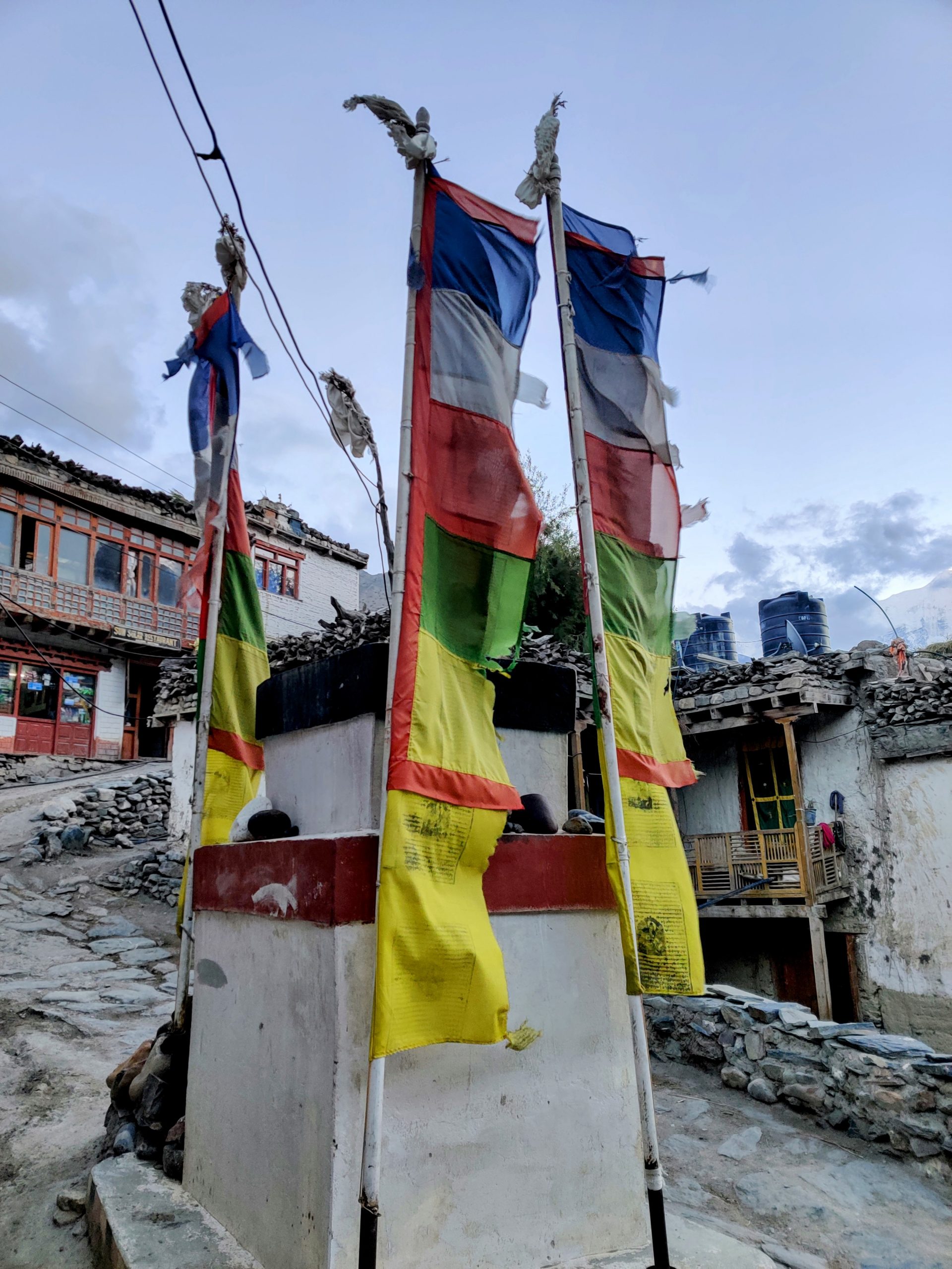
About a month ago, a massive mud avalanche surged through the river right in the heart of Kagbeni. The aftermath of the disaster left around 3 meters of mud that devastated the once-charming village center. Even now, you can spot the lingering marks on the building walls, remnants of the destructive mudflow.
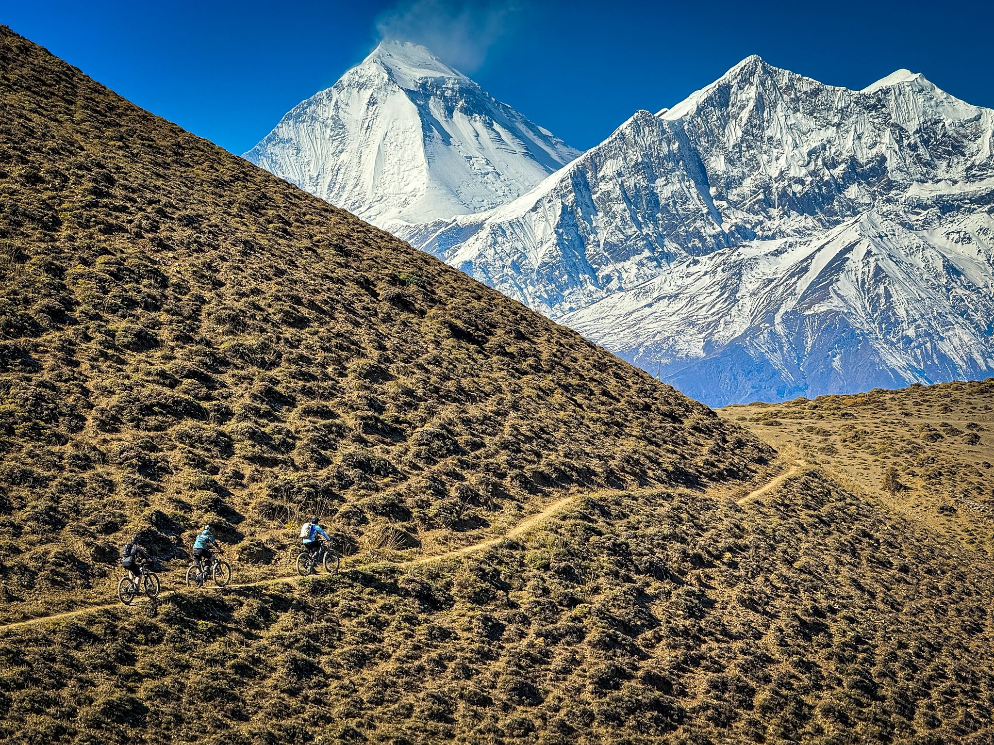
The end of the day was epic, like seriously epic. We got shuttled to the top of the Lubra Pass at 4000 meters for that awesome MTB downhill. Warm palette of colors and the sunset was painting the peaks, and boom, there she was, Dhaulagiri, this massive 8-thousand-meter beast, taking all the applause and just owning the moment. She totally deserved it, you know? We had to just chill and soak it all in, respect the scene and enjoy every bit of it.
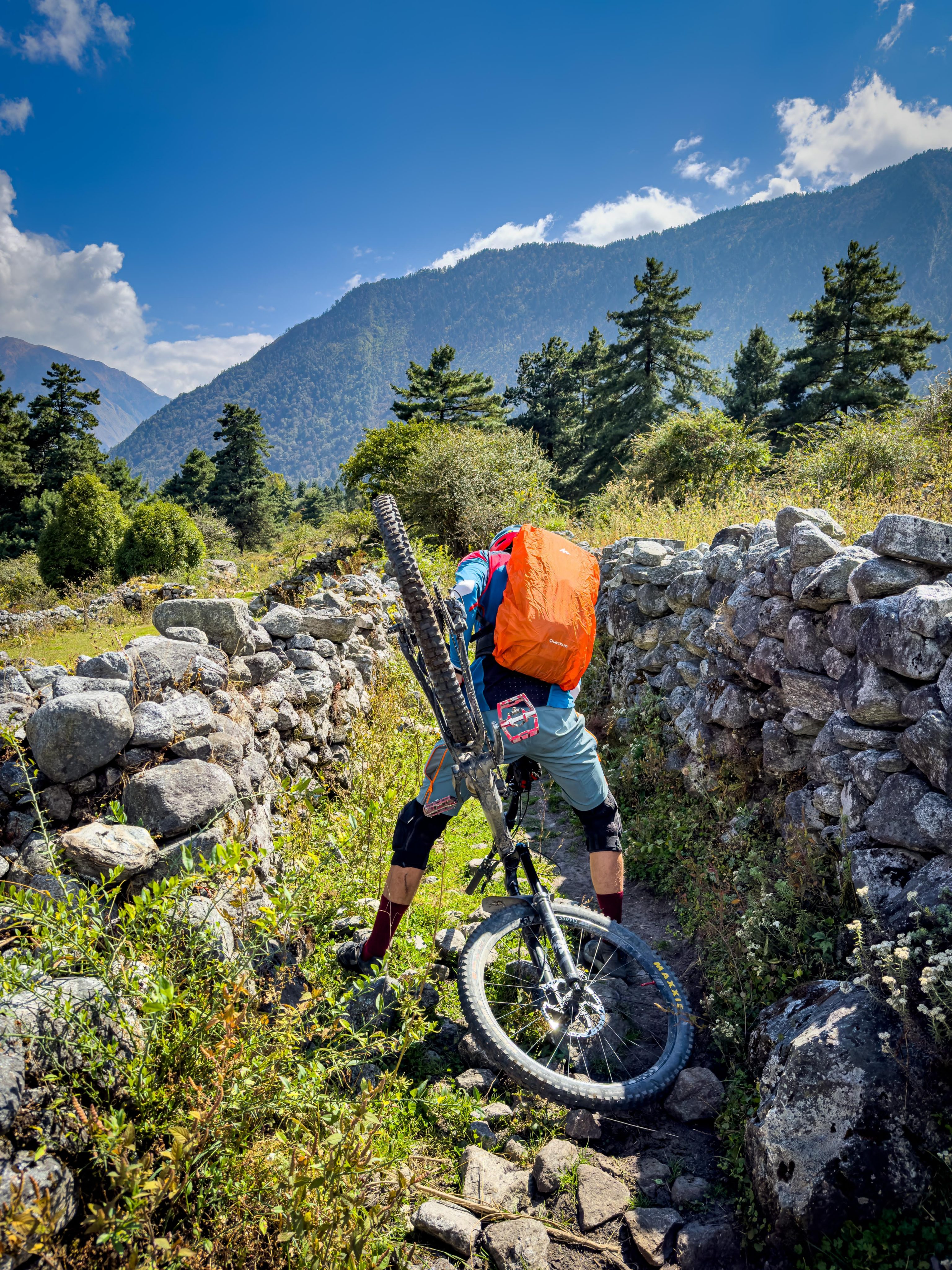
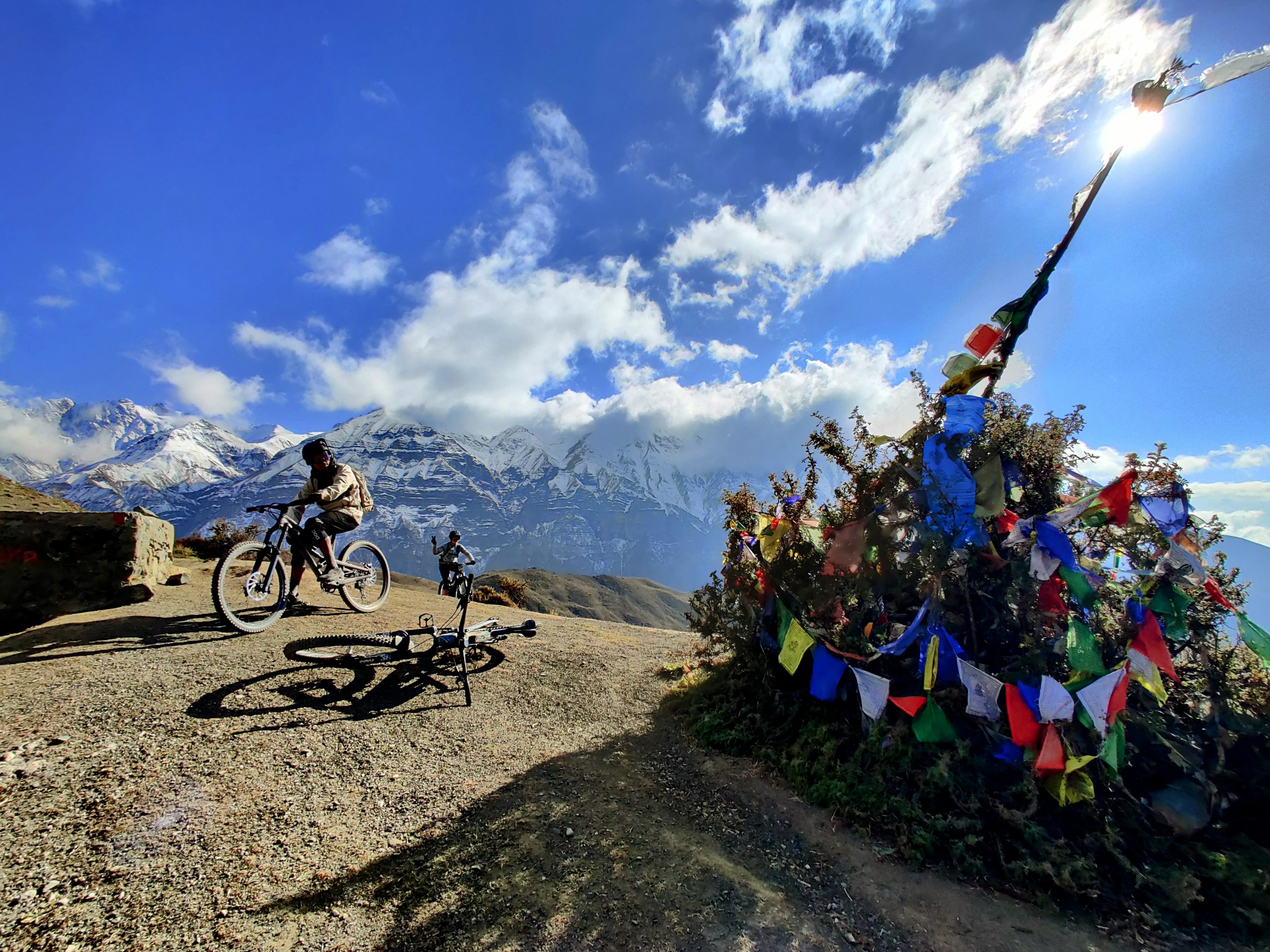
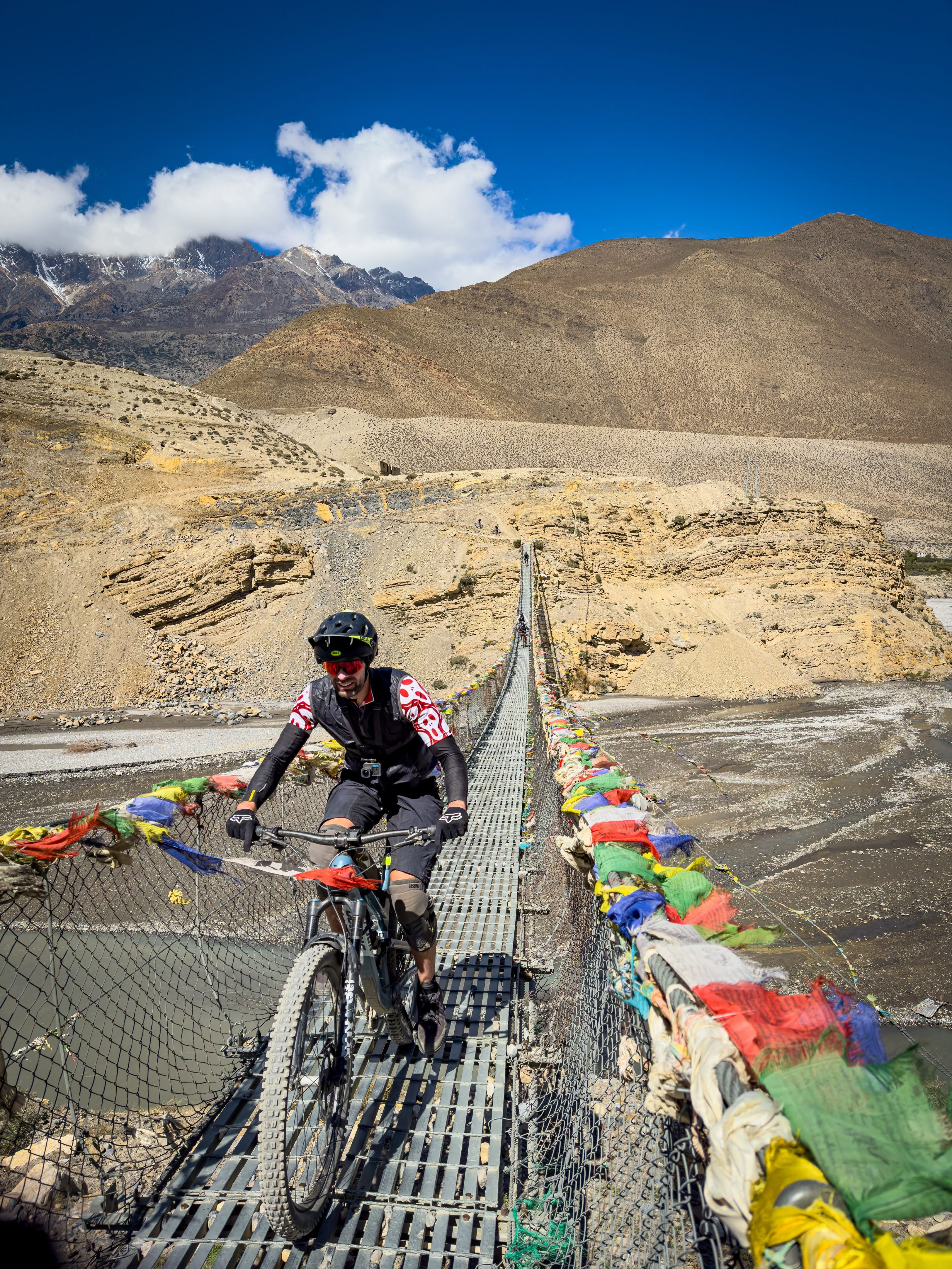
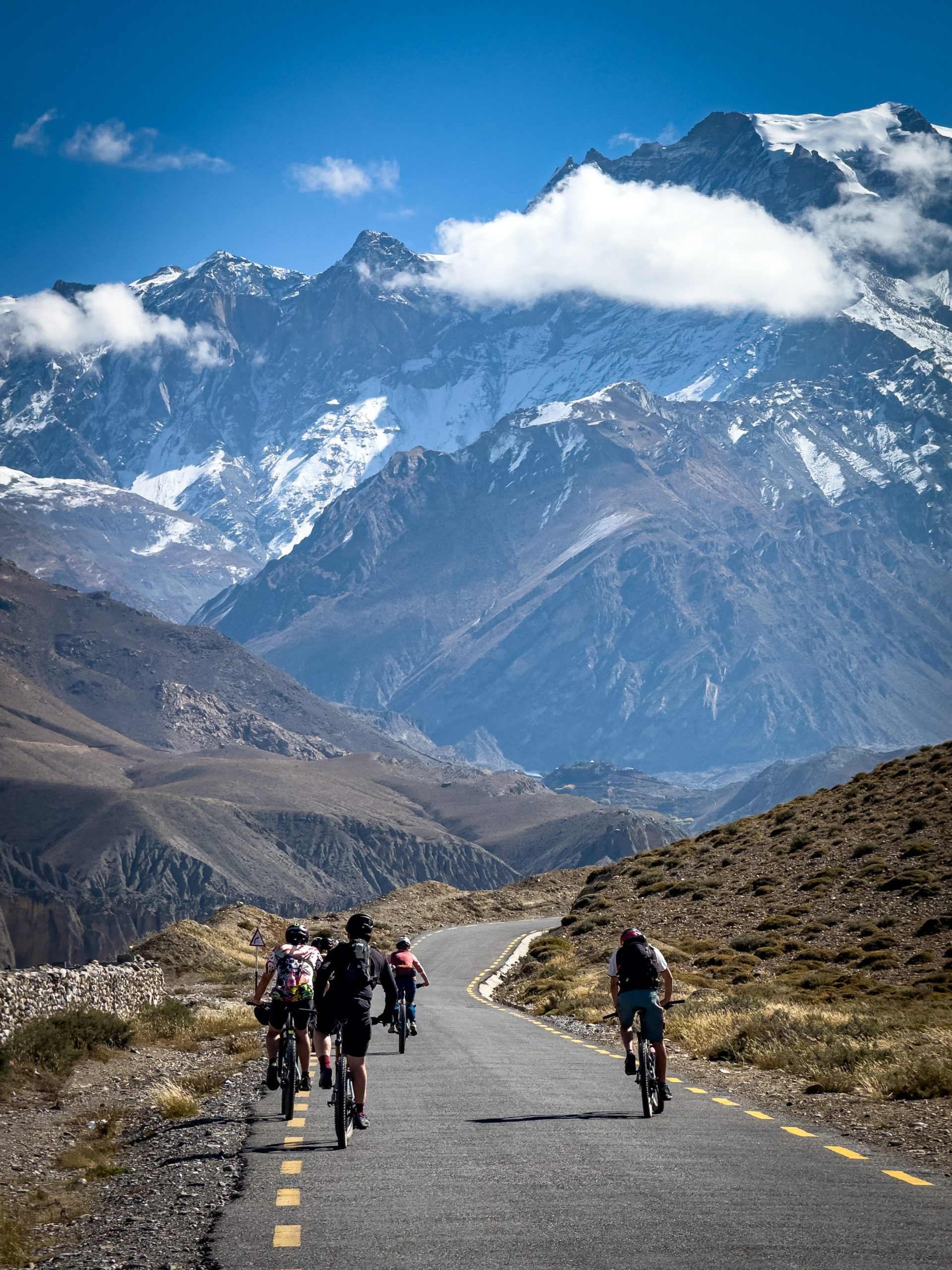
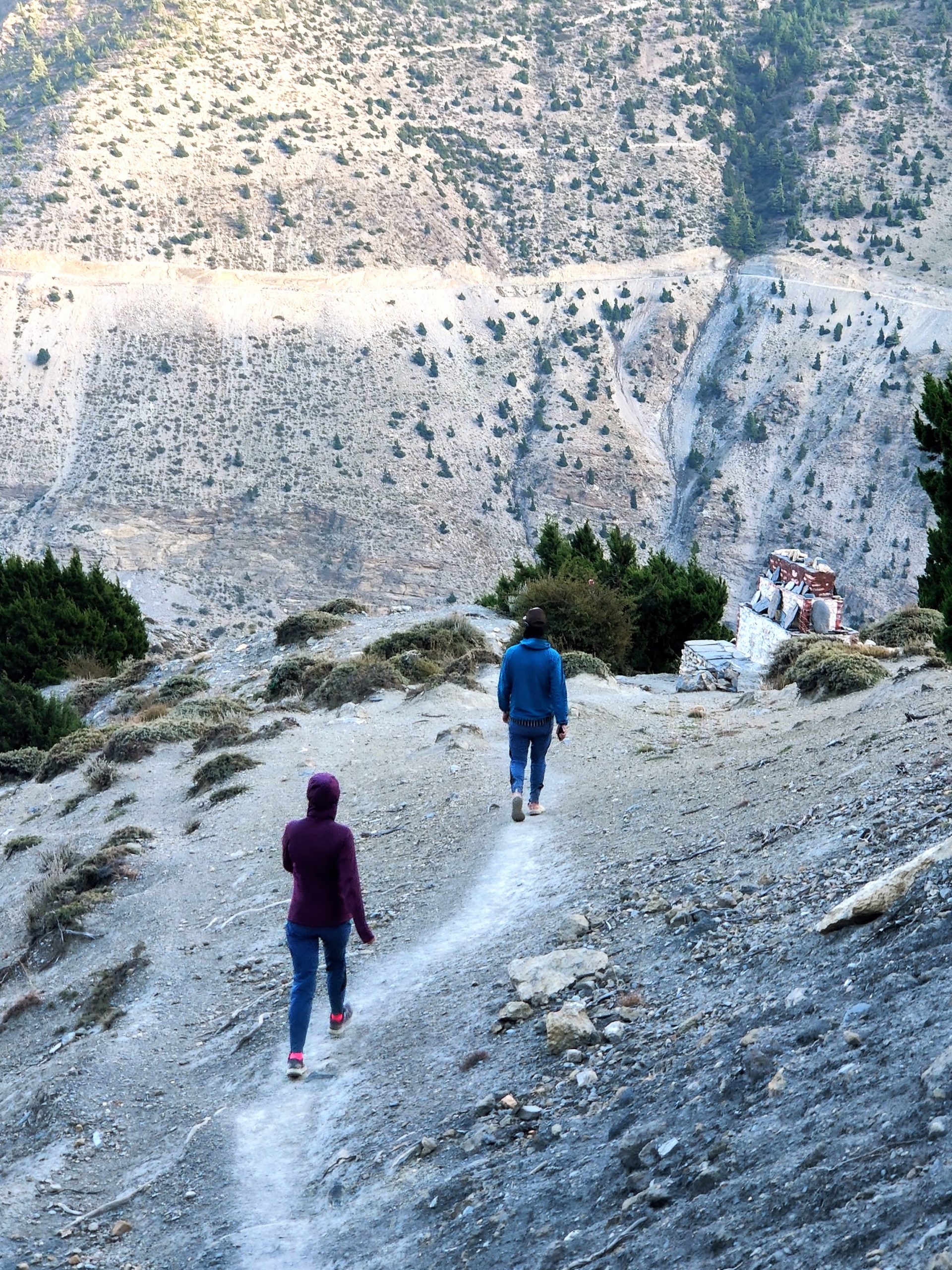
It is surprising, but the road quality from Kagbeni to Muktinath could almost pass for Swiss standards. The only tiny hiccup for the pedaling might be the altitude, as Muktinath sits at 3800 meters, making for an 800 vertical meter difference from Kagbeni. We then shuttled from Muktinath towards Thorong La pass until it was doable. The road eventually ends at 4200 meters, where the snow cover starts to appear. So, we made the call to ride down through the hiking path, which also happens to be the final leg of the Annapurna circuit trek.
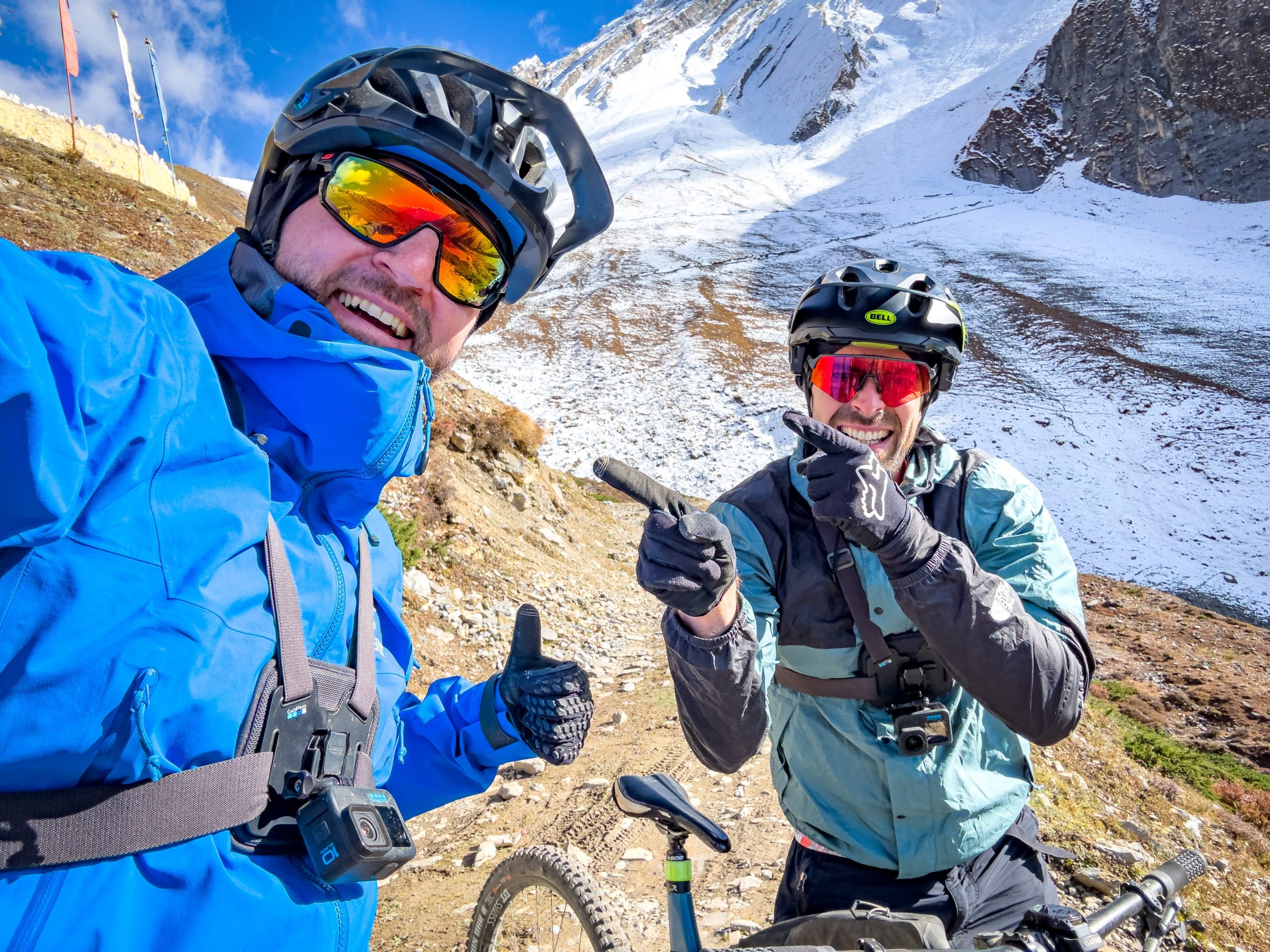
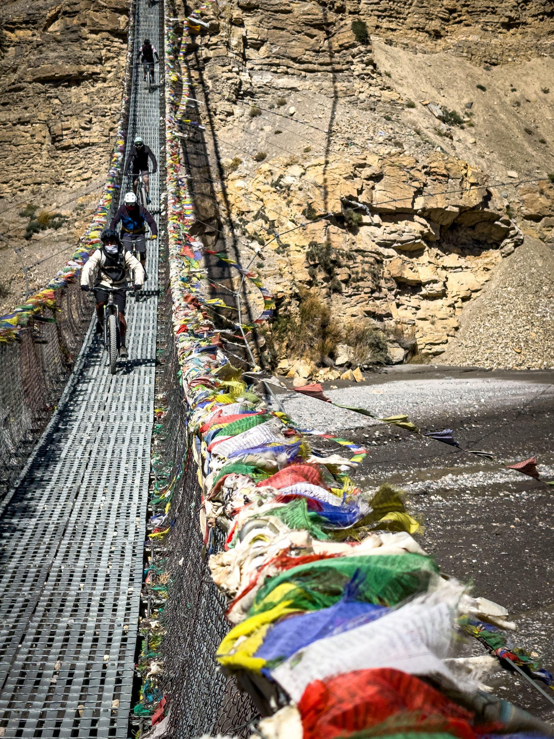
And let me tell you, the scenery? It’s just insane, like mind-blowingly, breathtakingly insane. Wind tends to pick up in the afternoons, and it can get pretty fierce and risky, especially in the open spaces. Keep an eye out and be prepared for some serious gusts. Definitely, you’ve got to watch out for those rope bridges. I had a bit of a crash myself when I wasn’t fully paying attention, and the wind unexpectedly pushed the bridge to the side. So, stay focused and cautious when crossing those bridges, for sure.
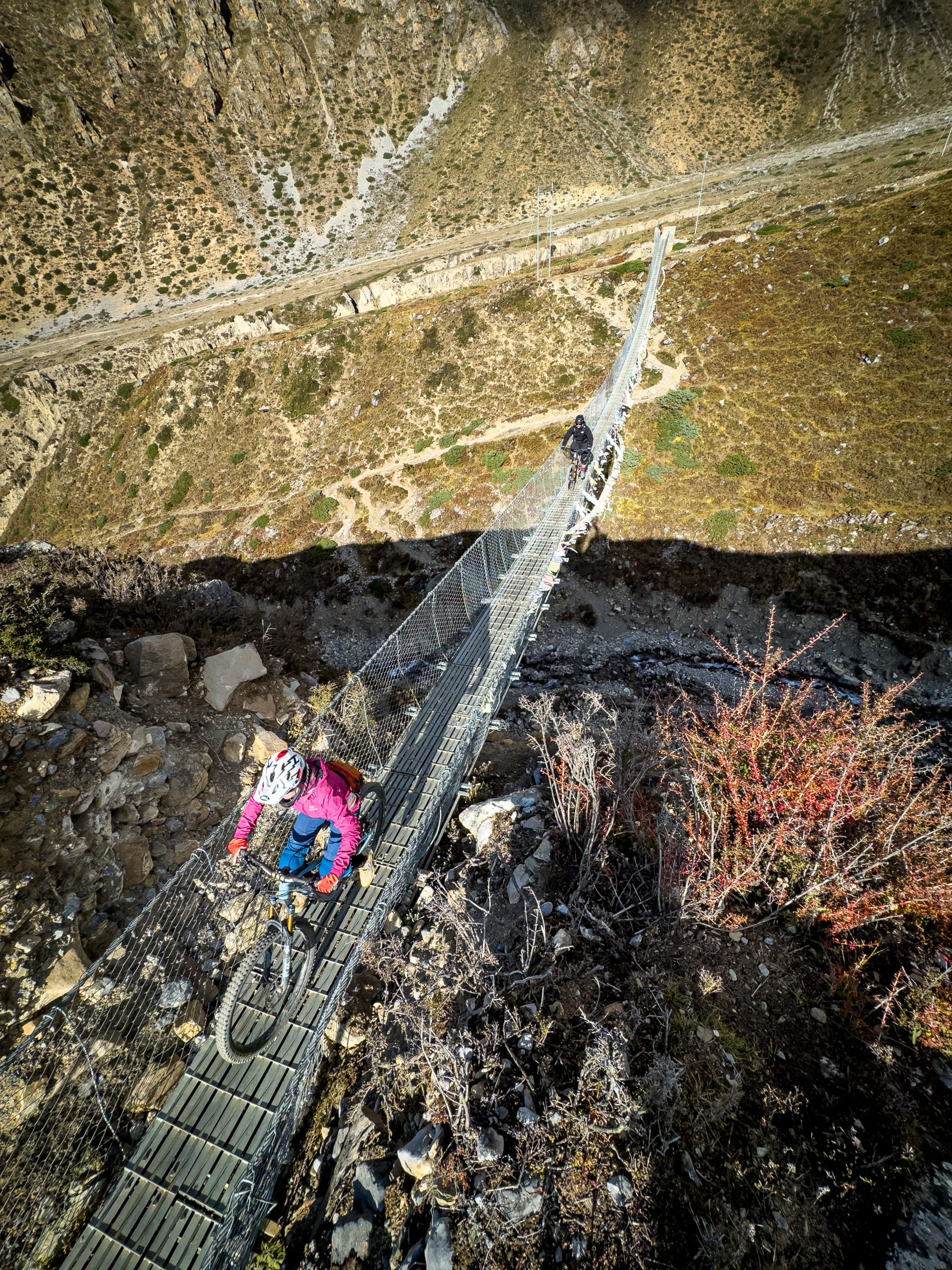
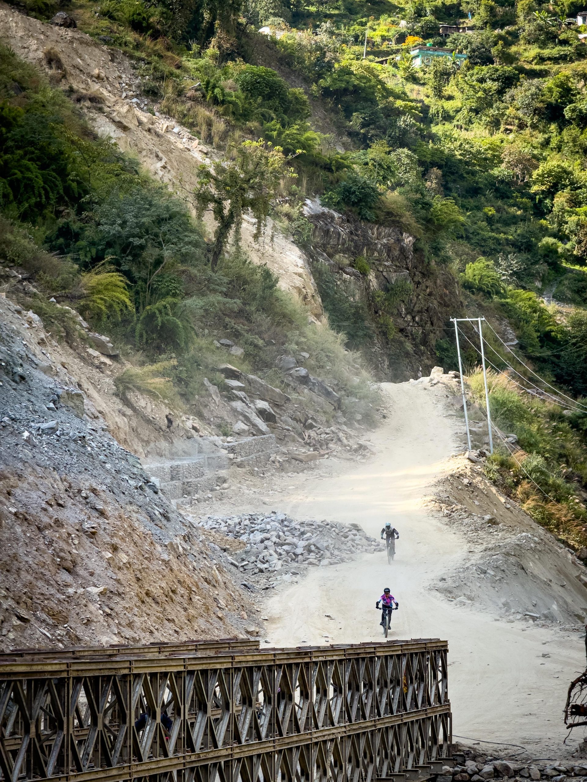
Heading out of Lower Mustang on the road is an adventure in itself. The main road, while mostly wide enough for two cars, would probably be rated as a S1 track on the Mountain Bike scale. It’s unpaved, bumpy, potholes, kicking up dust, mud, dirt and water. It’s a blast to ride down full speed on a good full-suspension mountain bike, that’s for sure.
Extras
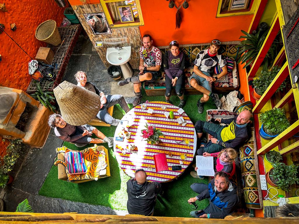
Despite the extras were not part of the original itinerary, these additional experiences ended up making the trip even more spectacular.
Local Rural Life
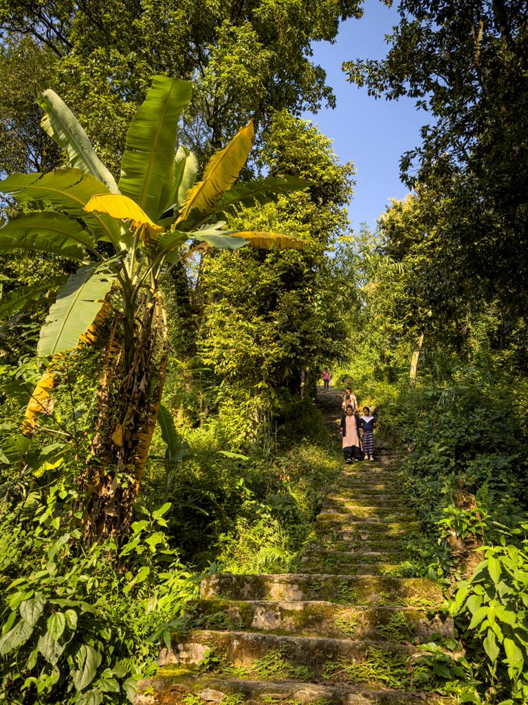
After a ride to Tatopani, the plan was to visit local hot springs. However, I still had enough energy so I persuaded Greg and Basti to do something else and go for the hike. Let’s be real, it turned out to be more of a power hike. With sunset approaching, we didn’t have much time to spare. According to the map, there was a 2-kilometer walking path from Tatopani leading into the forest, with an elevation gain of around 400 vertical meters. However, it quickly became evident that the path was a series of stairs, with hiking trails acting as connectors between the stair sections.
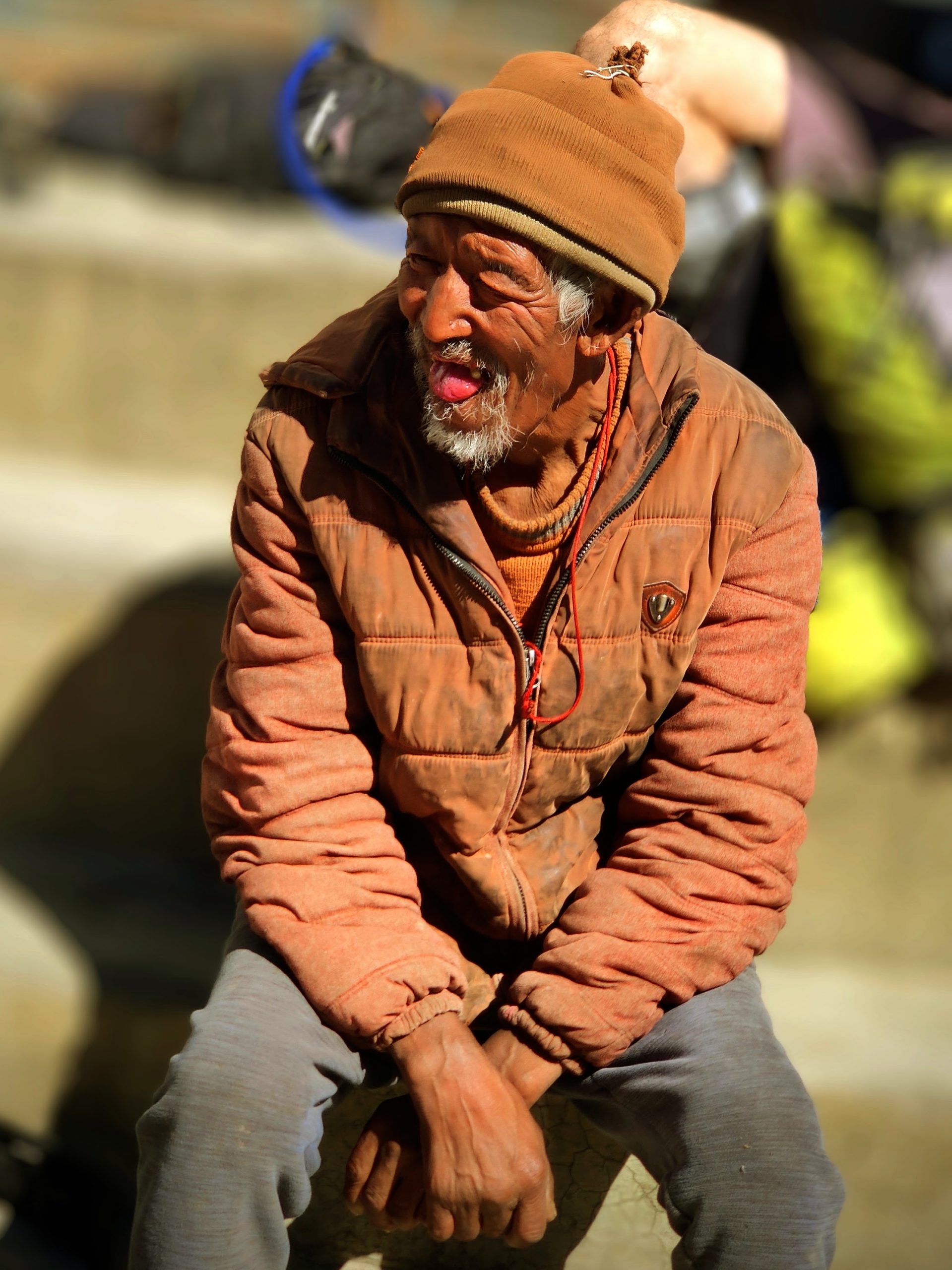
As I approached the end of the path, I heard voices, real human voices. It wasn’t some illusion. Children’s voices filled the air. It was festival time in Nepal, and these kids had red rice smeared on their foreheads, a part of their tradition. Greg suggested we ask them to make us some tea. Soon, the father of the family emerged from their simple house and warmly invited us in, offering to make us some tea. He managed a few words in English, introducing each member of the family. The house was basic, with thick mud walls, no windows, and hardly any ventilation inside. I couldn’t stay for long, but Greg stayed back to make sure the water for the tea was boiled right.
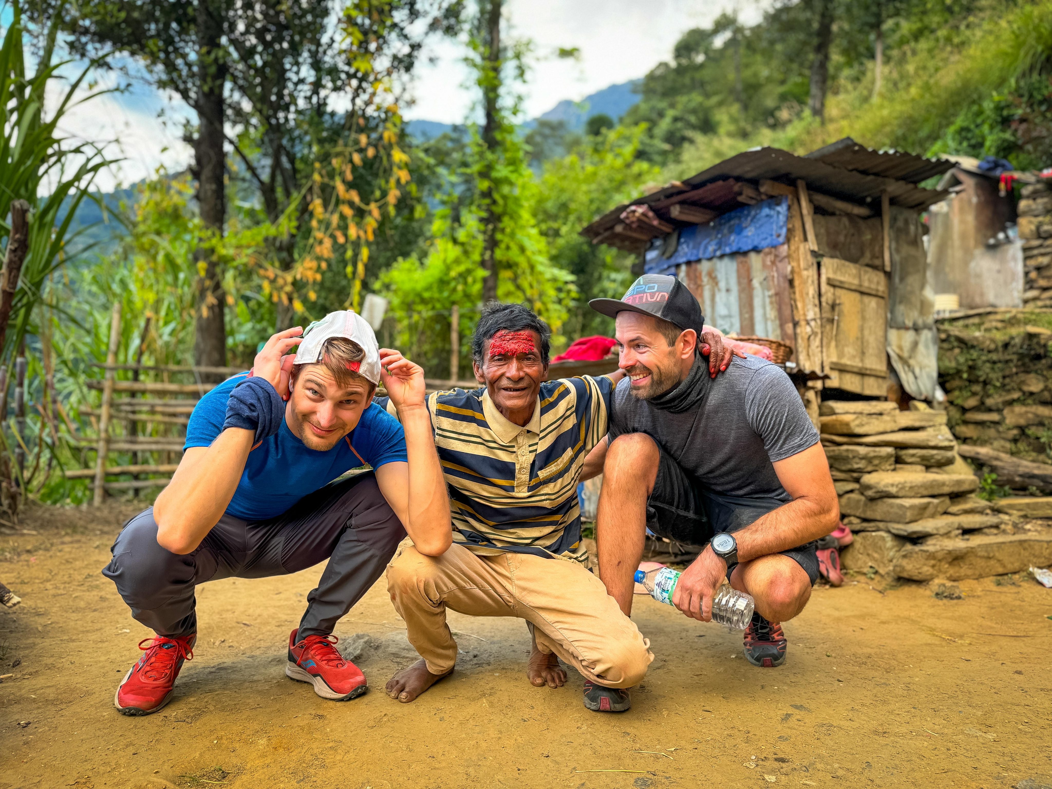
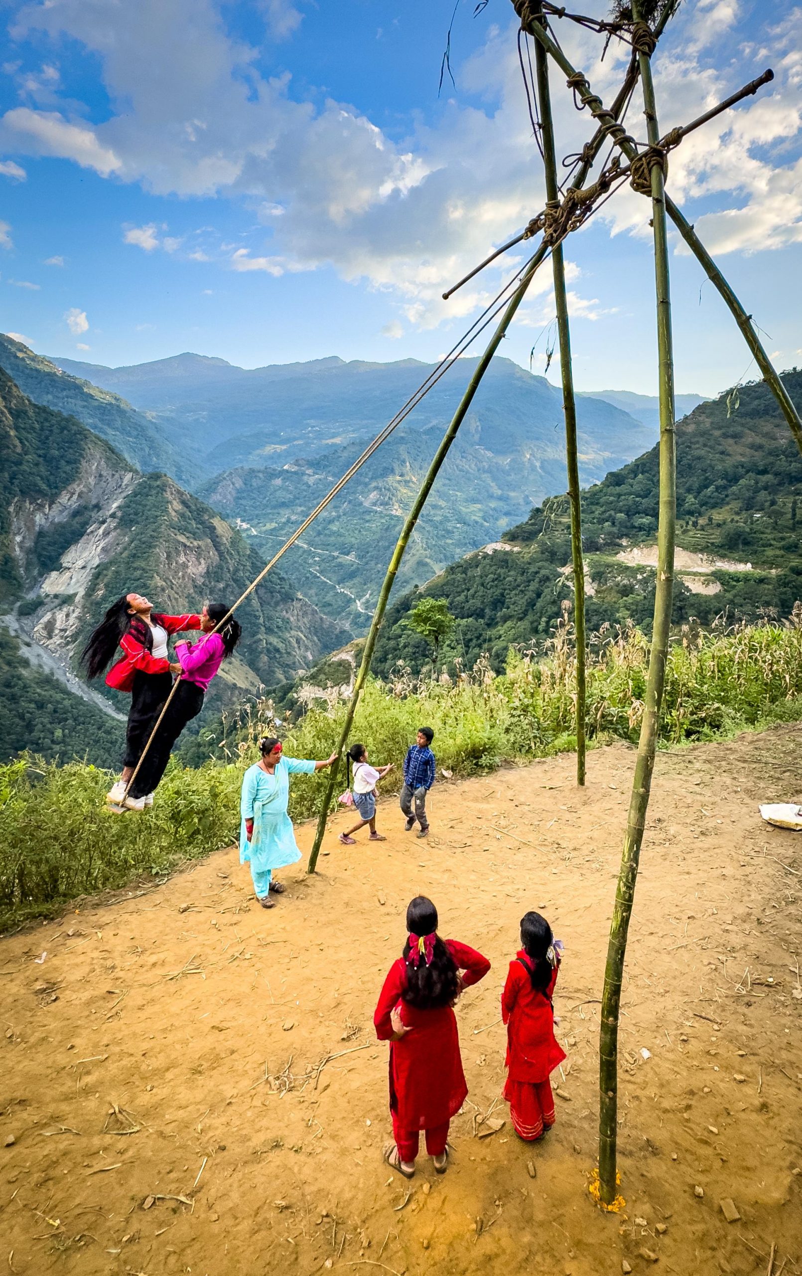
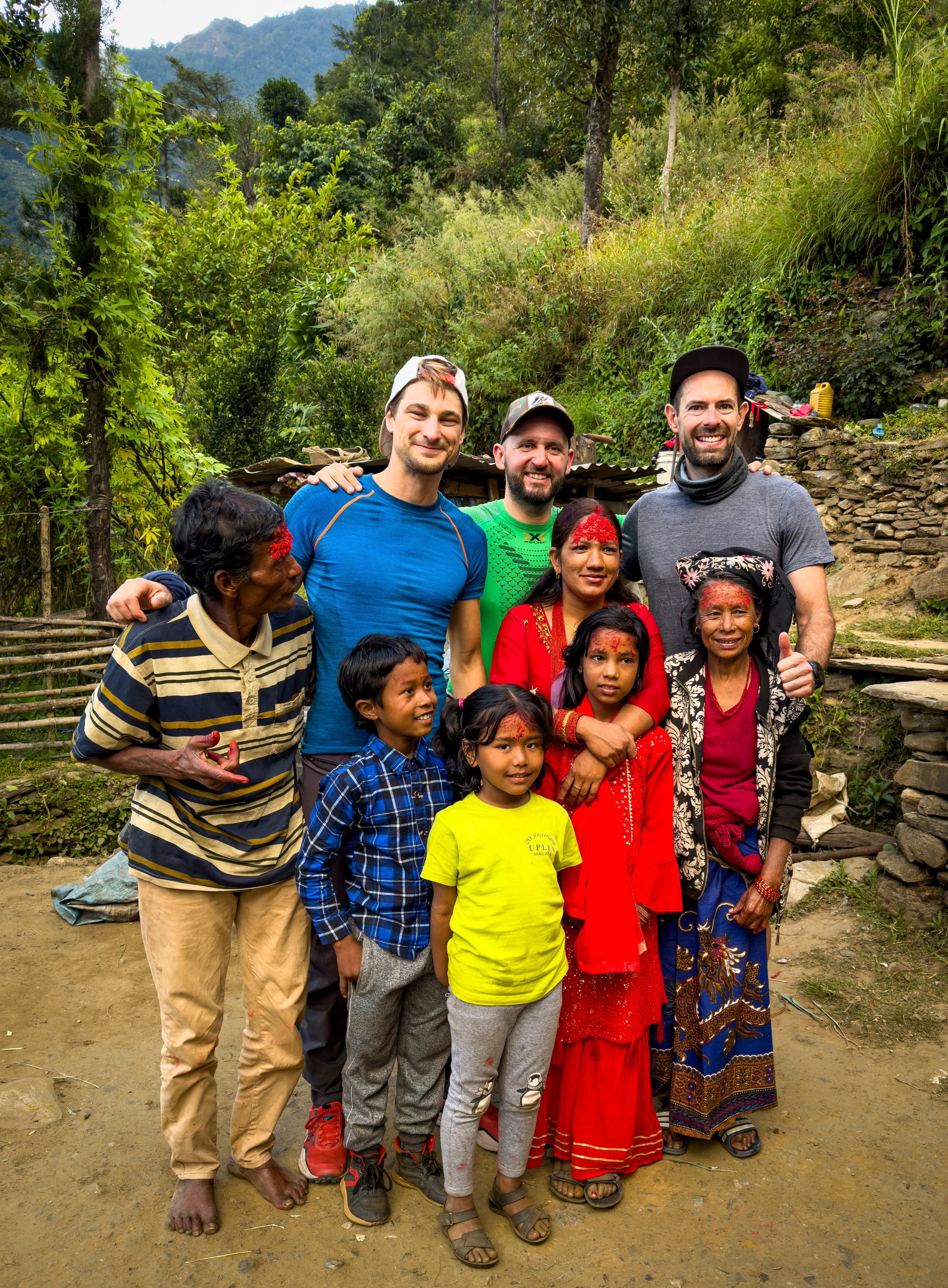
Suddenly, the father’s father appeared, inviting us to join him for a smoke, but we politely declined. For real, who knows what is polite when we used just hands for talking. The kids then asked me to join them on a swing made from long bamboo sticks, tied together with ropes at the top. I cautiously sat on the swing as the kids began pushing me, but with the cliff nearby, I decided it was best to hop off before things got too wild. After a while, Basti played some modern music on his phone, and to everyone’s surprise, we adults started to dance or at least attempt to. The father brought out a JBL speaker and played some local Nepali music. Even the grandma joined in, and we all tried our best to mimic the local dance moves. We took plenty of selfies, and the locals were thrilled that us “giants” (we were quite tall compared to the locals) were joining in their festivities. After enjoying the tea and the merry moments, we asked for directions to head back down as darkness began to settle in.
Mini Monks
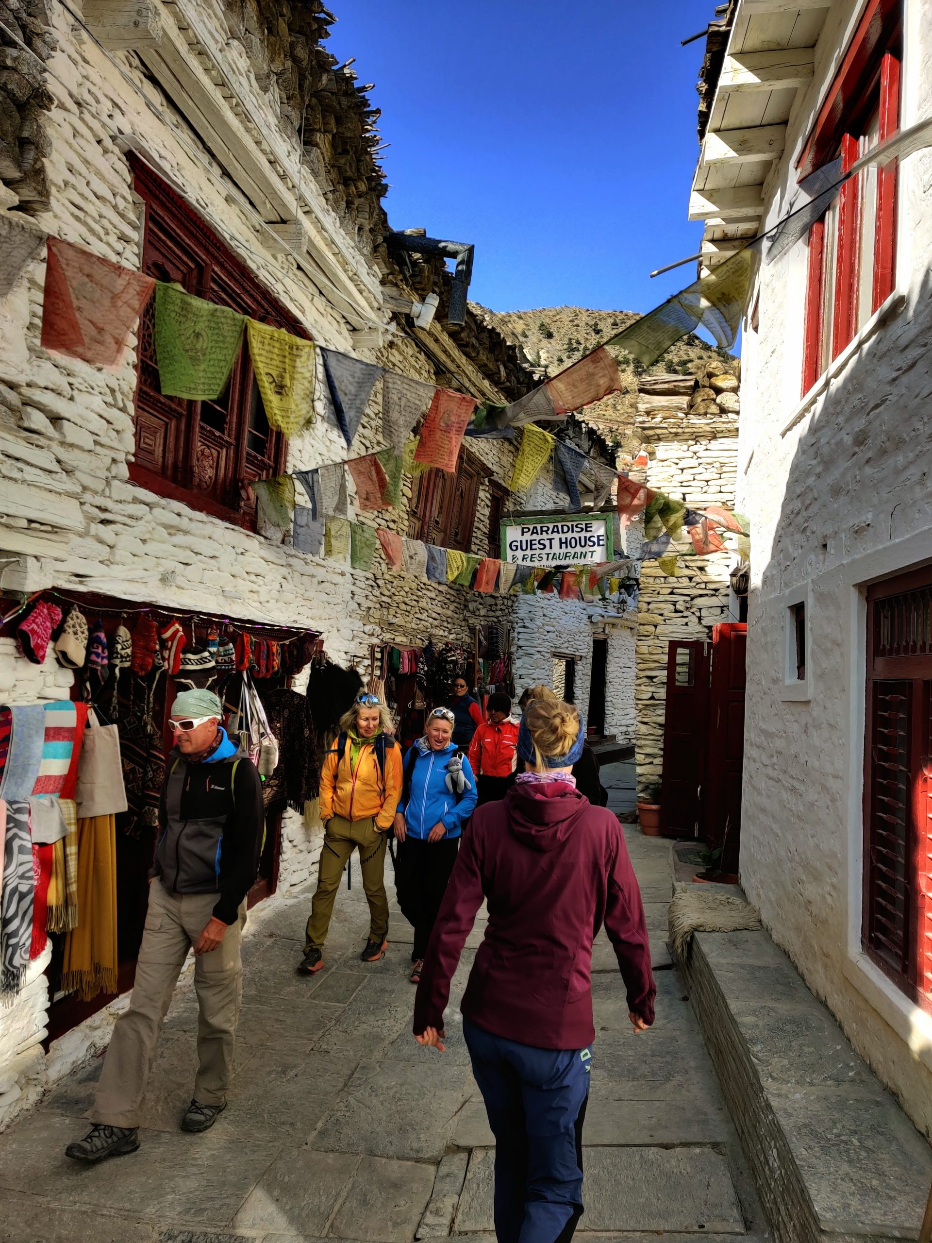
We had some time left in Marpha village where we stayed overnight. While scanning the map, we came across a hiking option that was a bit too ambitious and not quite realistic for the moment. It led through the Dhampus Pass toward the Dhaulagiri base camp, spanning 30 kilometers with a vertical ascent of 3000 meters. It stayed on my wish list, though, for a future trip. The second option took us to a remote settlement above Marpha. On our way up, as I, Greg, and Martusa hiked along, we noticed a narrow trail or walking path on the side, quite exposed, but we weren’t quite sure where it led. On our return from the viewpoint, we encountered a Nepali man carrying a heavy sack on his head. He swiftly passed us, then suddenly went into the hidden path along the cliff while wearing just his flip-flops. We looked at each other and nodded, agreeing that it must be the single trail we were looking for !
I have to admit, if I were to ride that trail, I’d need to stay hyper-focused to avoid falling off the cliff. It was incredibly exposed, but you feel it even more when riding bike. The terrain was loose, steep, and rocky, with certain sections that were probably not feasible on a bike. Nevertheless, that local Nepali seemed to be as agile as a goat, perhaps finding better grip in his flip-flops than most people would in a pair of Vibram-soled shoes.
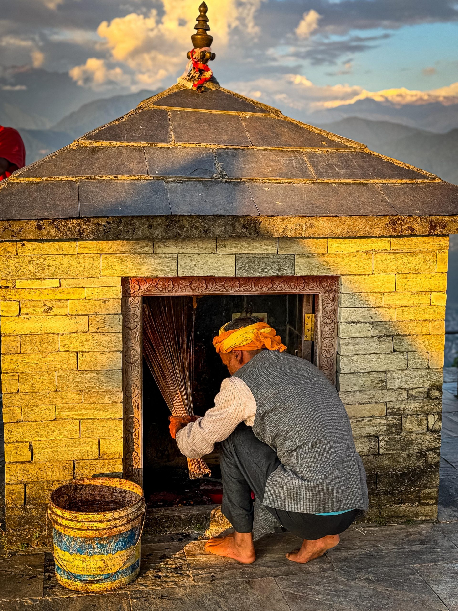
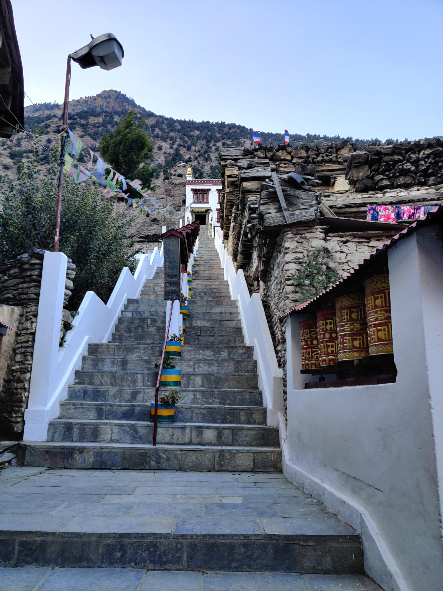
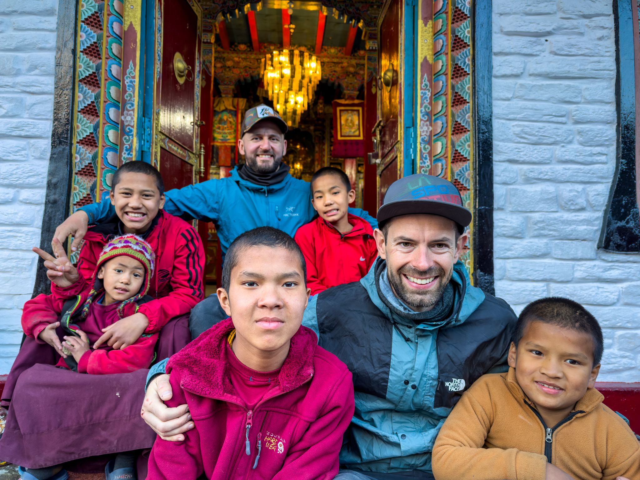
When we returned to the village, it was already close to the dawn. There was a Buddhist temple on the way and why not at least see the front door ? As we were walking up, I realized I am on the wrong side of the stairs as I cannot turn the prayers in the correct direction while walking. They are walking on the left side, same as the traffic (opposite to Europe). We got to the temple, but it was closed. However, Mini Monks started to show up from the close doors and inviting us to their house. They had prayers in Nepali and English. They opened the Temple just for us and we made cool selfies.
Overall Experience
One of my friends has been in Nepal 25 times so far. It’s definitely the country you cannot simply cross out from your travel list. I am glad I have visited it, got my own experience and know what to expect next time. I’ve learned what does it mean Nepali time, what are real chances for 50/50 here, know old friends better and made new friends. Learned a bit the unique Nepali culture through unforgettable moments with locals. I feel this local experience was very special and I am grateful for that.
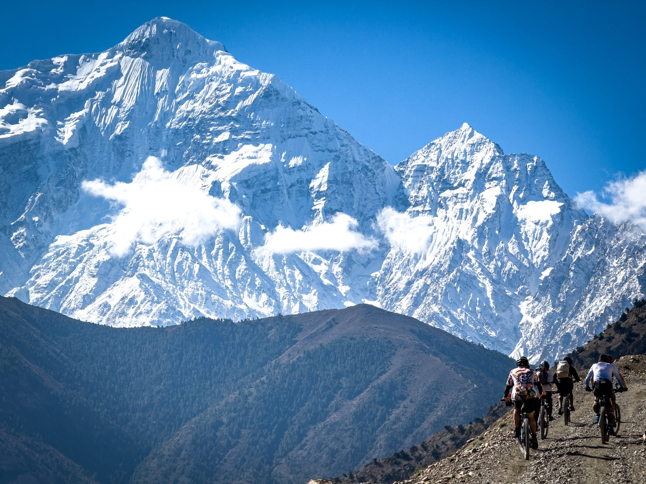
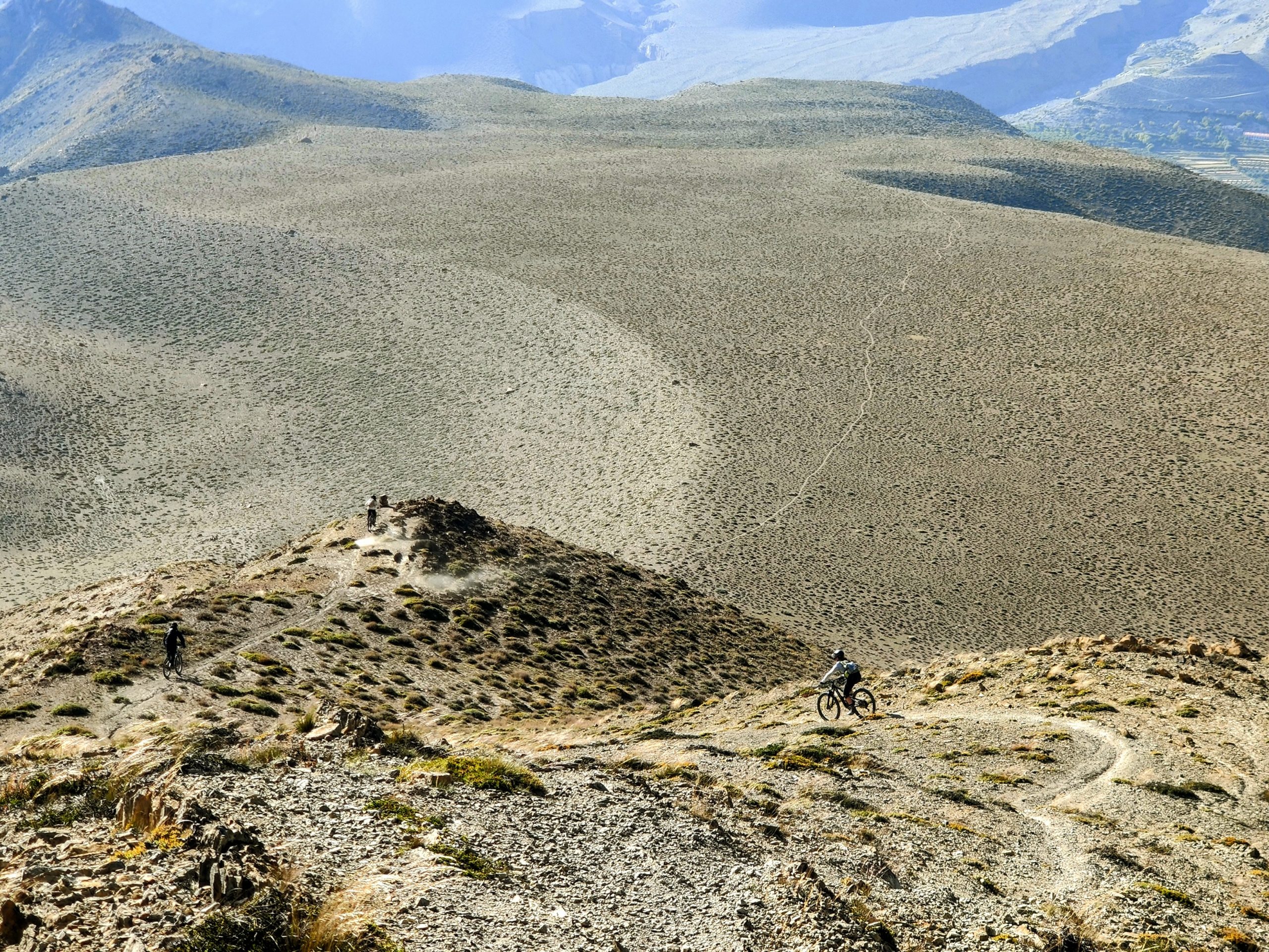
Mountain biking in Nepal is scenic one. Mountain bike culture is just being developed and and there is limited availability of trails. Many areas are susceptible to natural events such as landslides and strong winds, resulting in washed-out or highly exposed sections of the paths. While there are visible paths and trails on the mountains, tackling them requires exceptional stamina and endurance. From places that we rode, Nagarkot offers a good day of riding, while the Lubra trail and Old Muktinath trail in Lower Mustang provide a sense of proximity to the Himalayas. The ride from Marpha to Beni follows a normal road referred to as a jeep track, it’s bumpy, dusty, and amusing MTB experience. Pokhara has a couple of short trails to explore as well. Probably bit more advanced riding for another time, and way much more pedaling and hike&bike, would include hiking areas, such as a Nepal trekking circuits or heading to the base camps.
Also another thing to consider is the raw nature of this entire place. Ride smart, one needs to carry key spare parts as it is almost impossible to get them in remote places. And eat smart, be cautious with the food and water. A chill day can turn into a struggle real quick if you’re not keeping it 100 with your health.
Gallery